I haven’t been posting many ride reports lately. That’s due to a combination of reasons:
But now, I break the year-long silence with the great fall break bike tour!
As a Pittsburgh-based cyclist, I’ve always know about the Great Allegheny Passage (GAP), a notable rail trail that runs for around 150 miles between Pittsburgh, PA and Cumberland, MD. It’s a very popular trail with local cyclists, both for short day trips and longer overnight trips. In fact, I’d actually done a previous overnight trip to Ohiopyle on the GAP. When combined with the C&O canal towpath, which runs about 180 miles between Cumberland, MD and Washington, DC, it’s possible to form 330 miles of continuous trail between Pittsburgh and Washington.
I’d always had vague plans about doing the trip from Pittsburgh to Washington sometime before I graduated college. I’d seriously considered doing it over the past spring break, but I eventually ended up going to Boston with some friends instead. I don’t regret that decision—I had a great time in Boston—but I knew that I would regret it if I were to leave Pittsburgh without having tried the trip at least once.
So when CMU introduced a week-long fall break for the first time this year, it naturally occurred to me that I might use the time to finally ride down to Washington. I was initially hesitant to commit to the trip; I told my friends that I was just “thinking” about it, citing weather concerns and such. It was only two days before the start of break that I fully committed to doing it, almost on a whim. I’m glad I did: the best adventures are often those decided on a whim.
nec dilata foret vindicta, nisi aequora saevi invia fecissent venti
Nor had their just resentments found delay, / Had not the winds, and waves oppos’d their way.
Ovid, Metamorphoses 12.8–9, translation by Samuel Garth, John Dryden, et al.
The first day of the trip was the longest in mileage, but it was the leg that I was least worried about, since I’d done all of it before, albeit two years prior. It was also the day with the most paved road to ride on—the first roughly twenty miles of the trail (going from Pittsburgh) are paved.
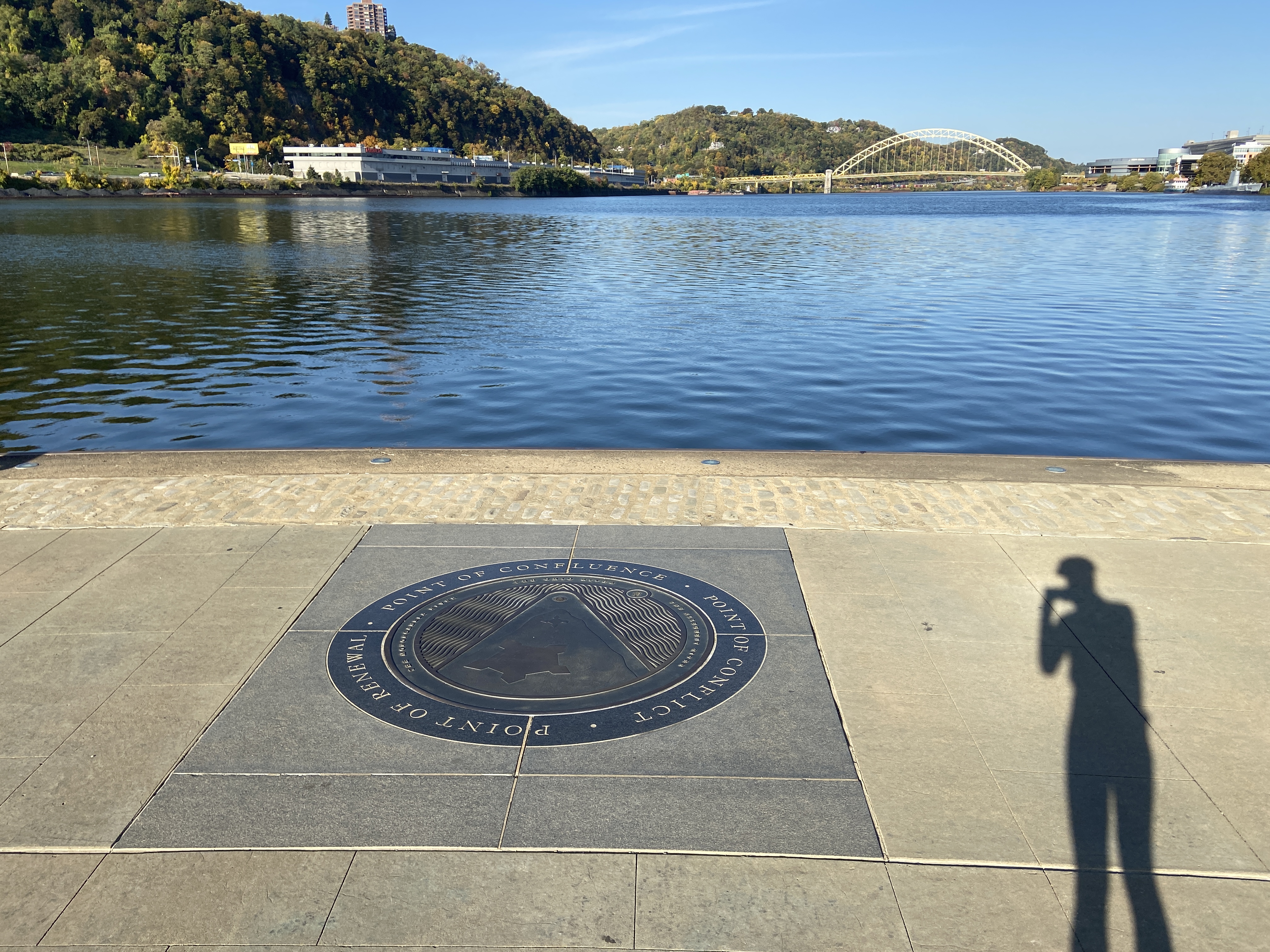
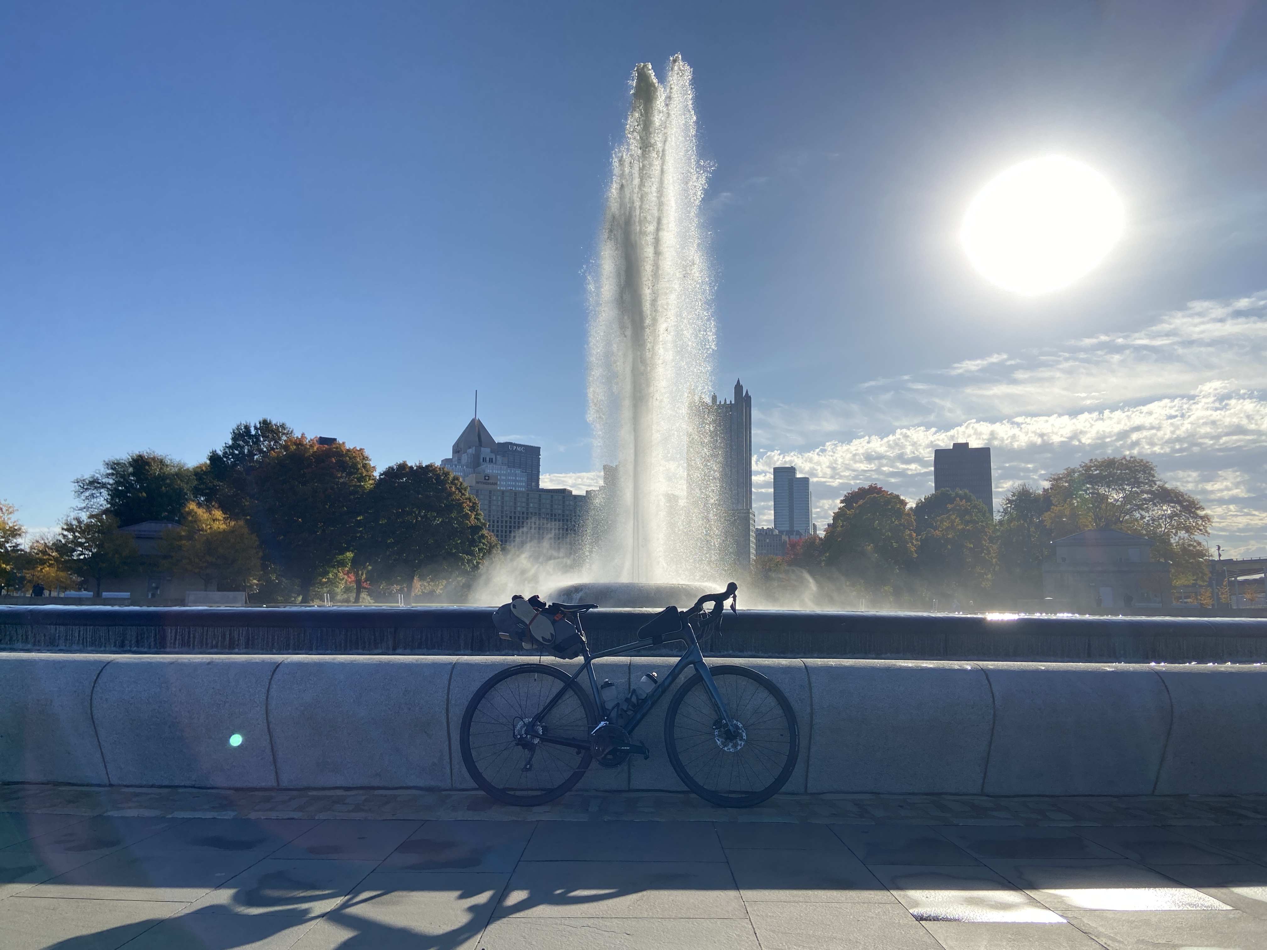
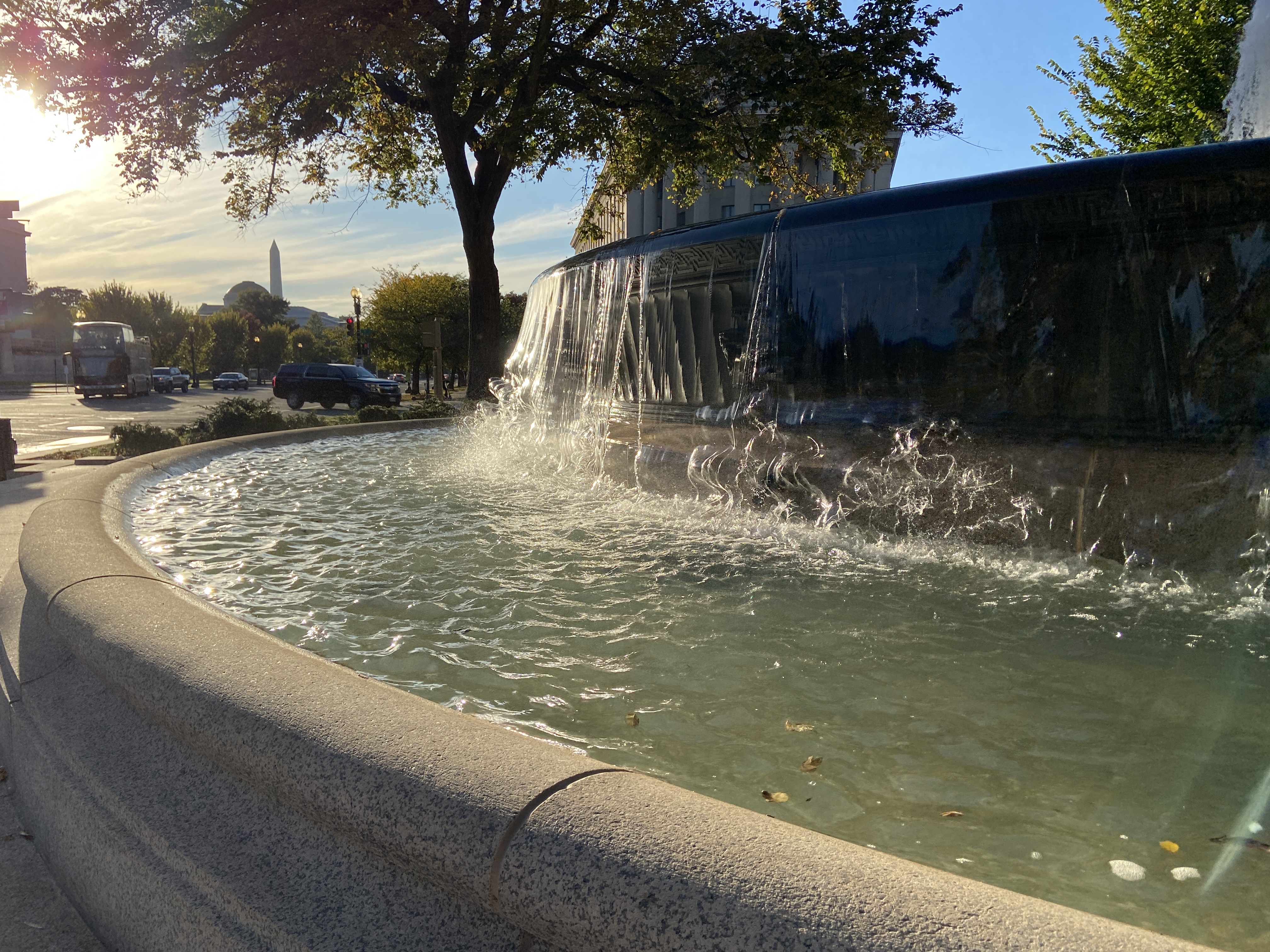
The beginning of the ride was actually quite boring, since I was riding on entirely familiar trails. But there was nothing to do about it: if I wanted to get to the fun stuff, I had to ride through the boring stuff. I set out from my apartment a little after 9 am, first heading for Point State Park, the official start of the trail (or end, depending on which way you ride it). I arrived there at around 9:30 am, taking some pictures in front of the fountain before turning back around to start the journey proper. Here, I actually began to be a bit excited at the prospect of spending the next few days on the trail; I almost didn’t believe that my last-second decision just two days prior had translated into an actual trip.
Overall, there weren’t too many surprises on the first day. The major difficulty was an intense headwind as I was heading out of Pittsburgh. It was seriously not fun. The Riverton Bridge was especially sketchy; the strong crosswind actually threatened to knock me over.1
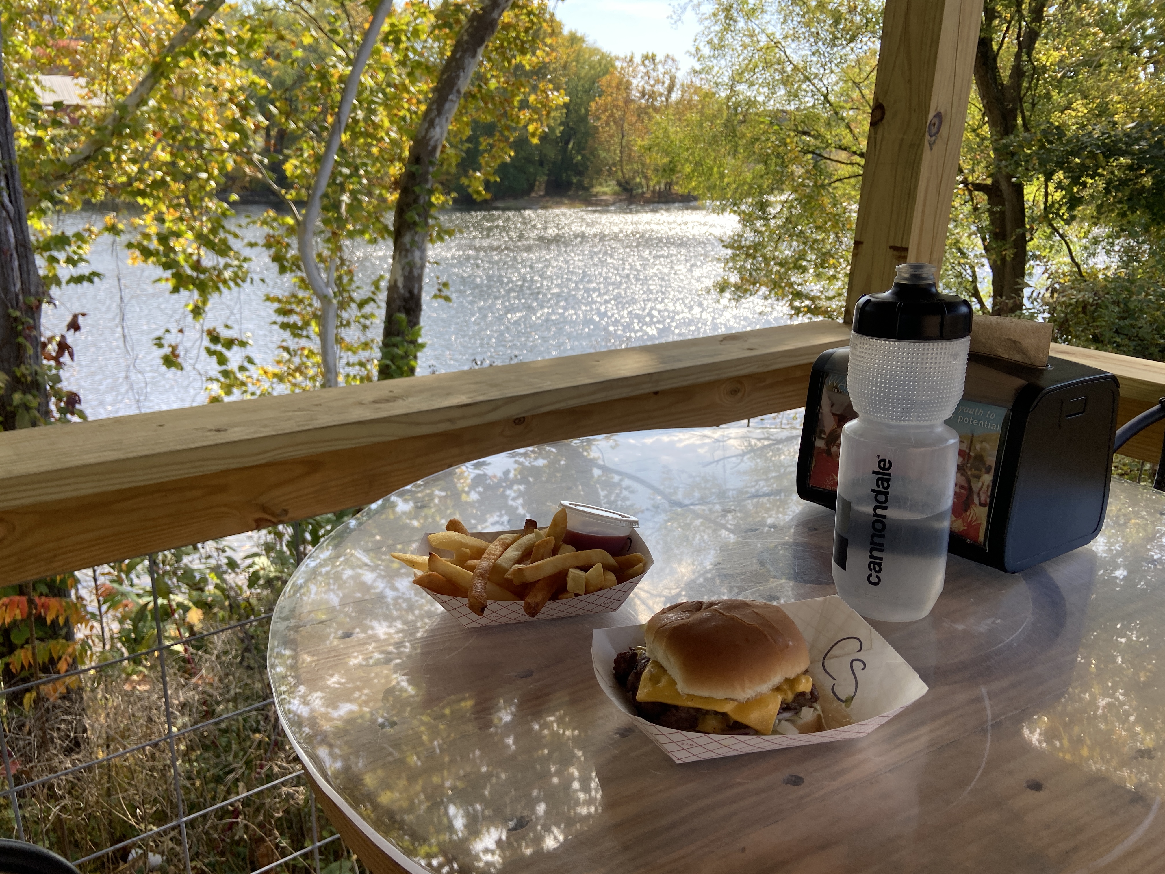
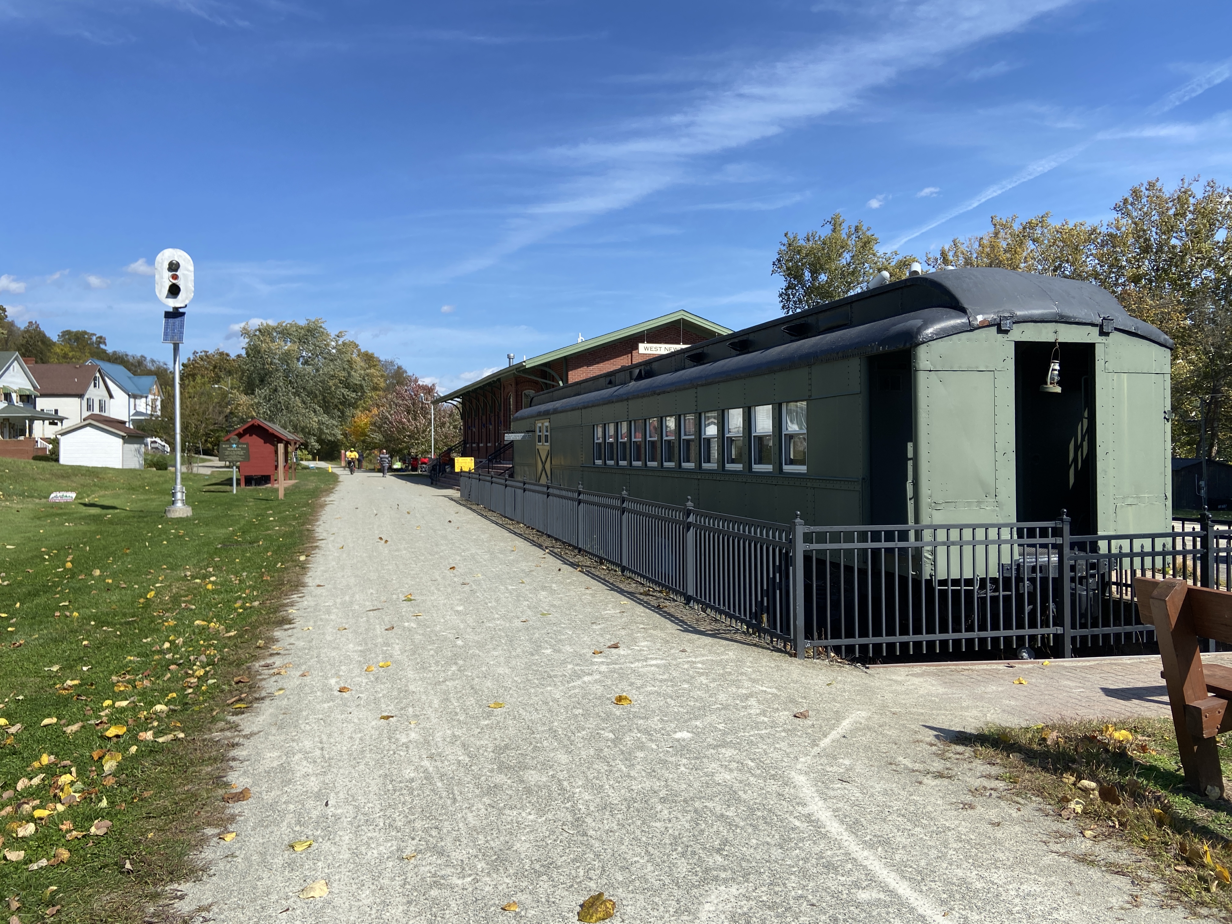
I stopped for lunch at West Newton, where I had a pretty good burger and fries. The burger place was playing contemporary Christian music, which made me smile. I don’t hear much of that nowadays, tending to prefer old hymns more.
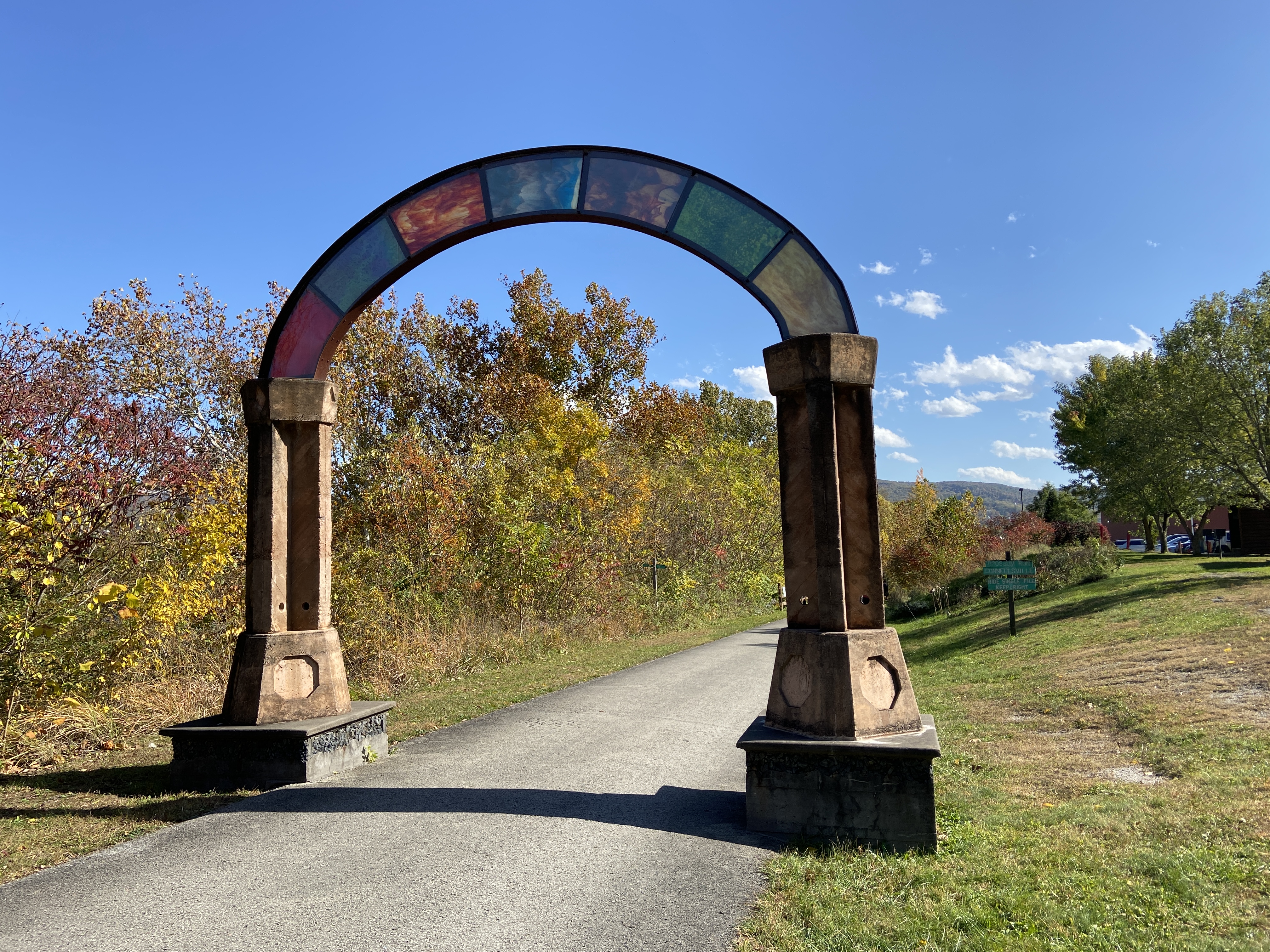
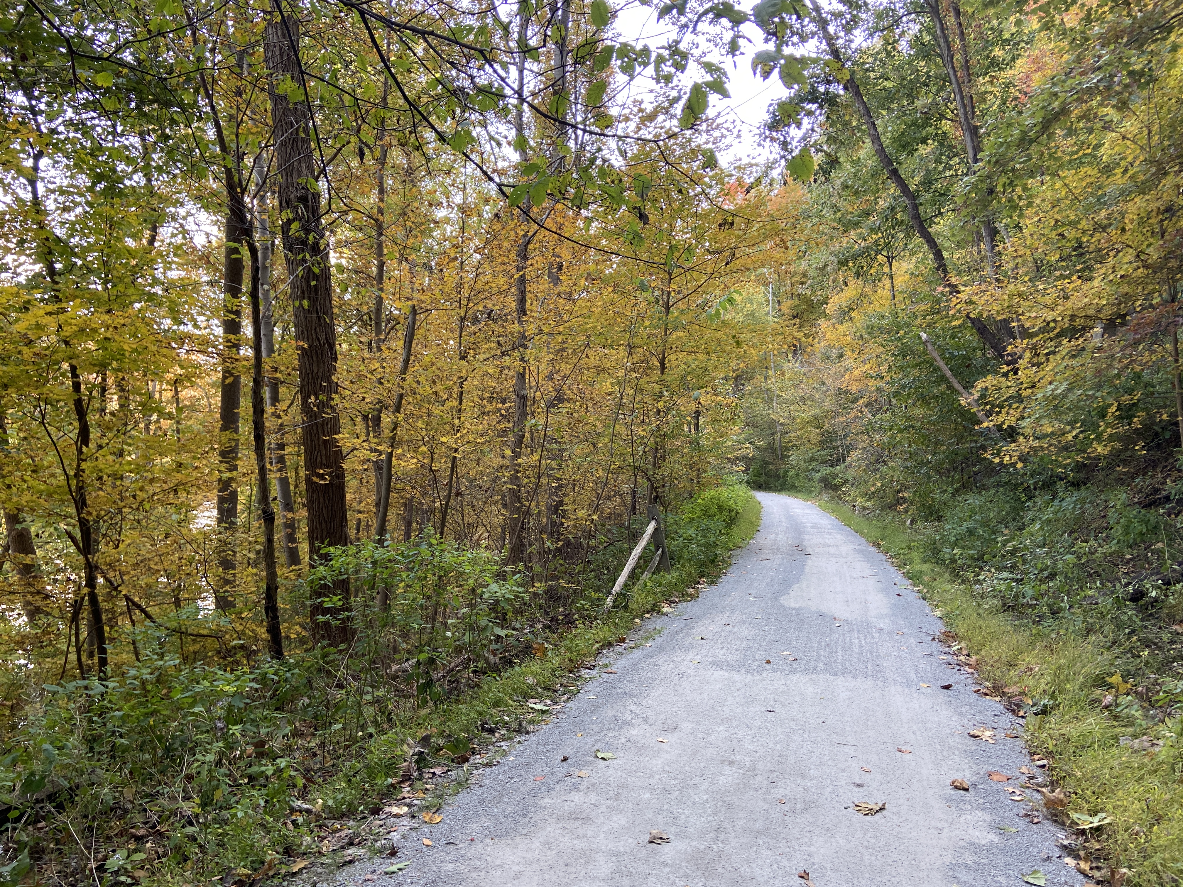
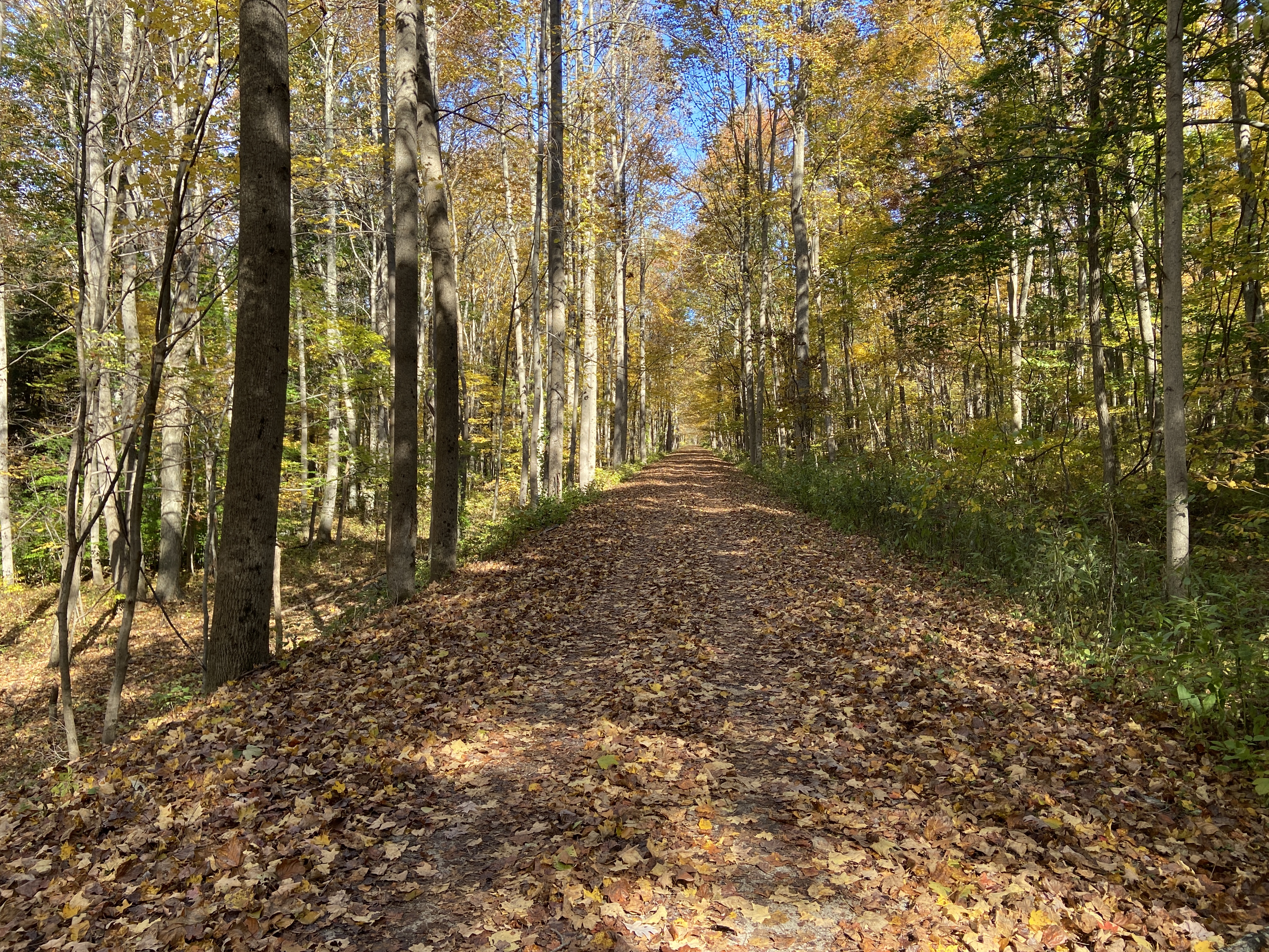
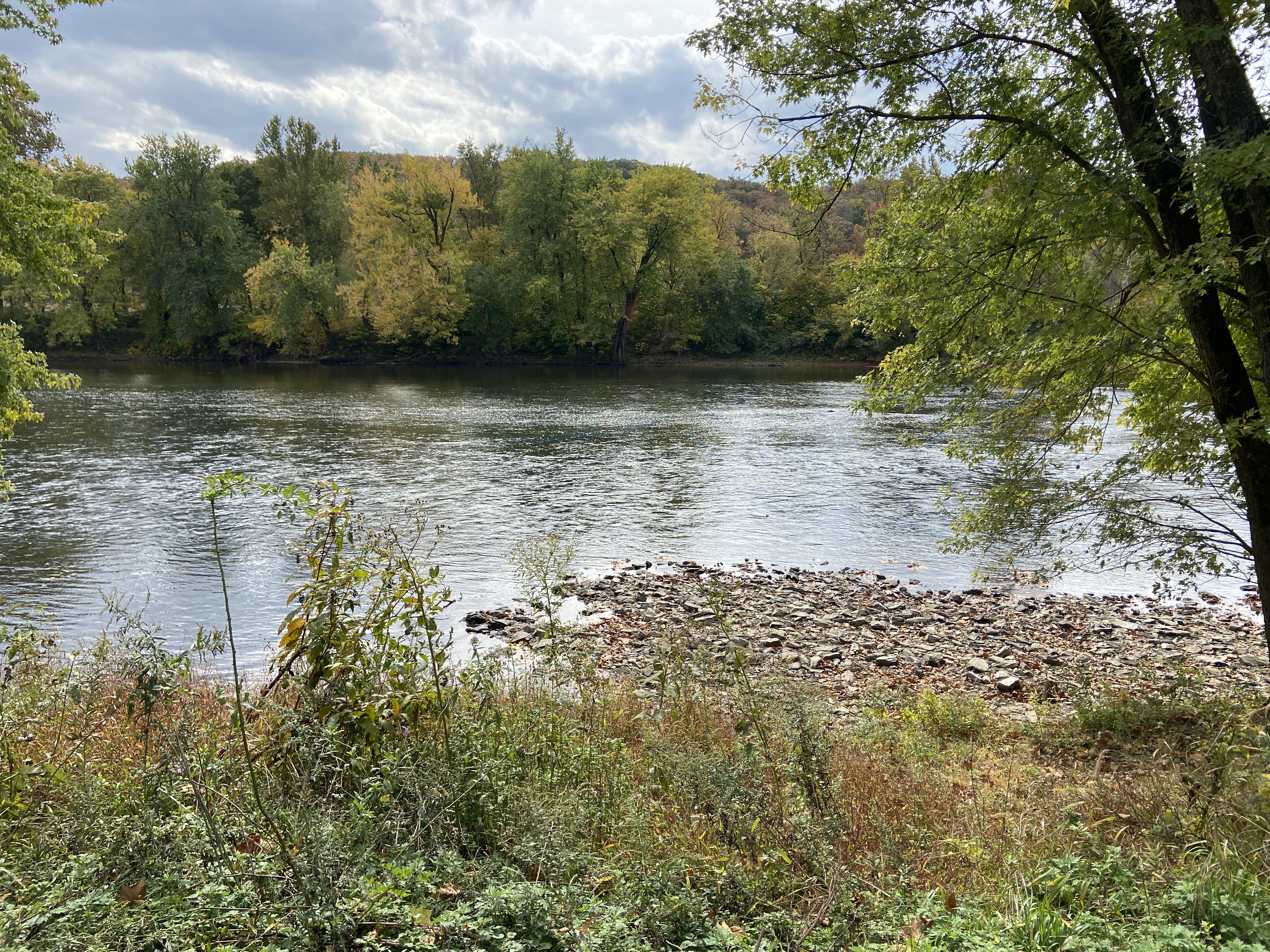
I knew I was getting close to the end of the day when I passed under the stained glass arch at Connellsville. I rested here for a bit before continuing on to Ohiopyle. This is a pretty section of the trail: the surface is smooth, the trees are colorful, and the bridges provide spectacular views of the Youghiogheny River.


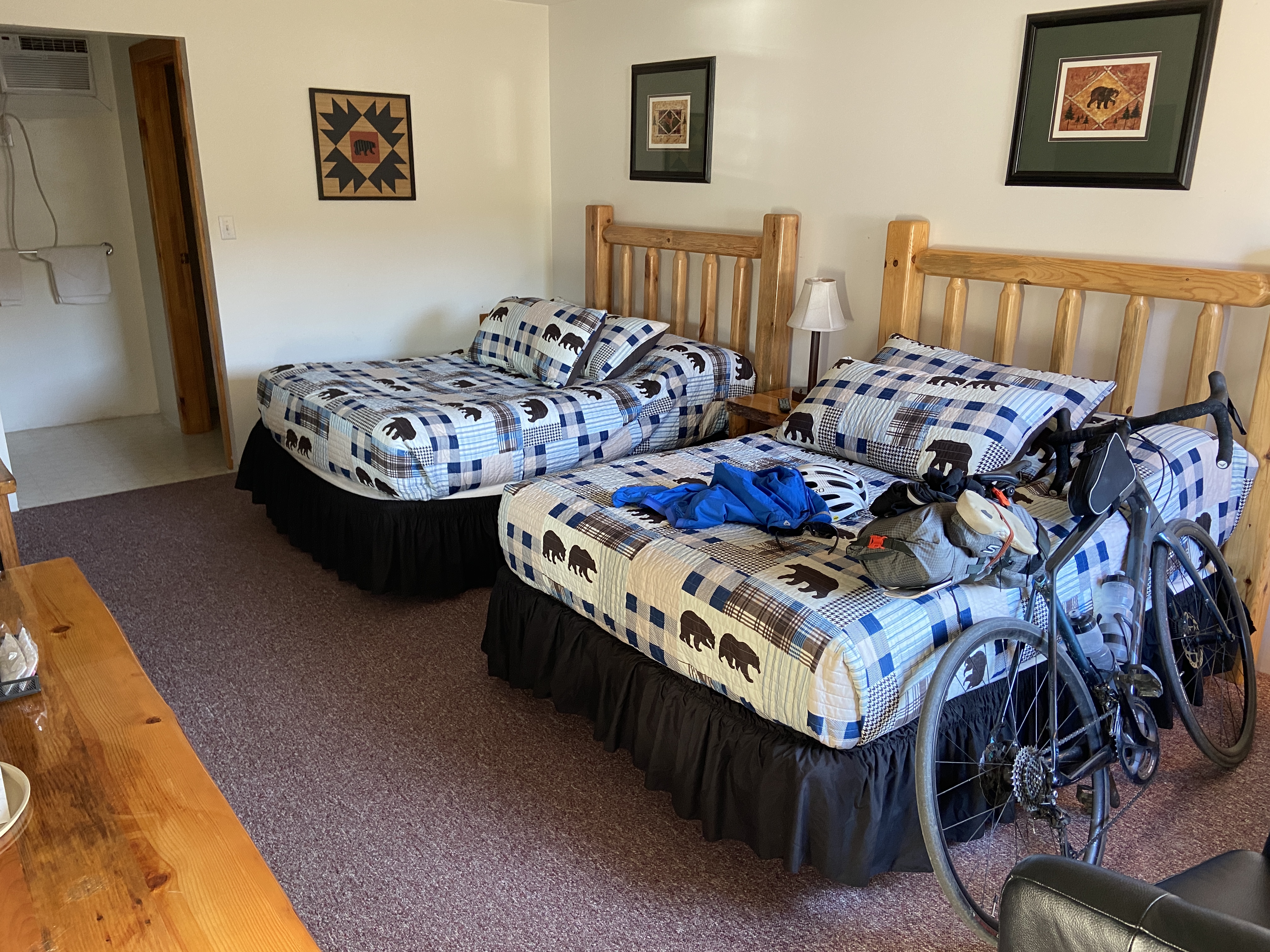
Finally, after a long day on the bike, I rolled into the familiar Ohiopyle State Park, where I checked in to my room at the Ohiopyle Suites. This was probably the nicest place that I stayed during the trip (though also the most expensive, I think). I finished off the evening walking around town and getting some dinner.
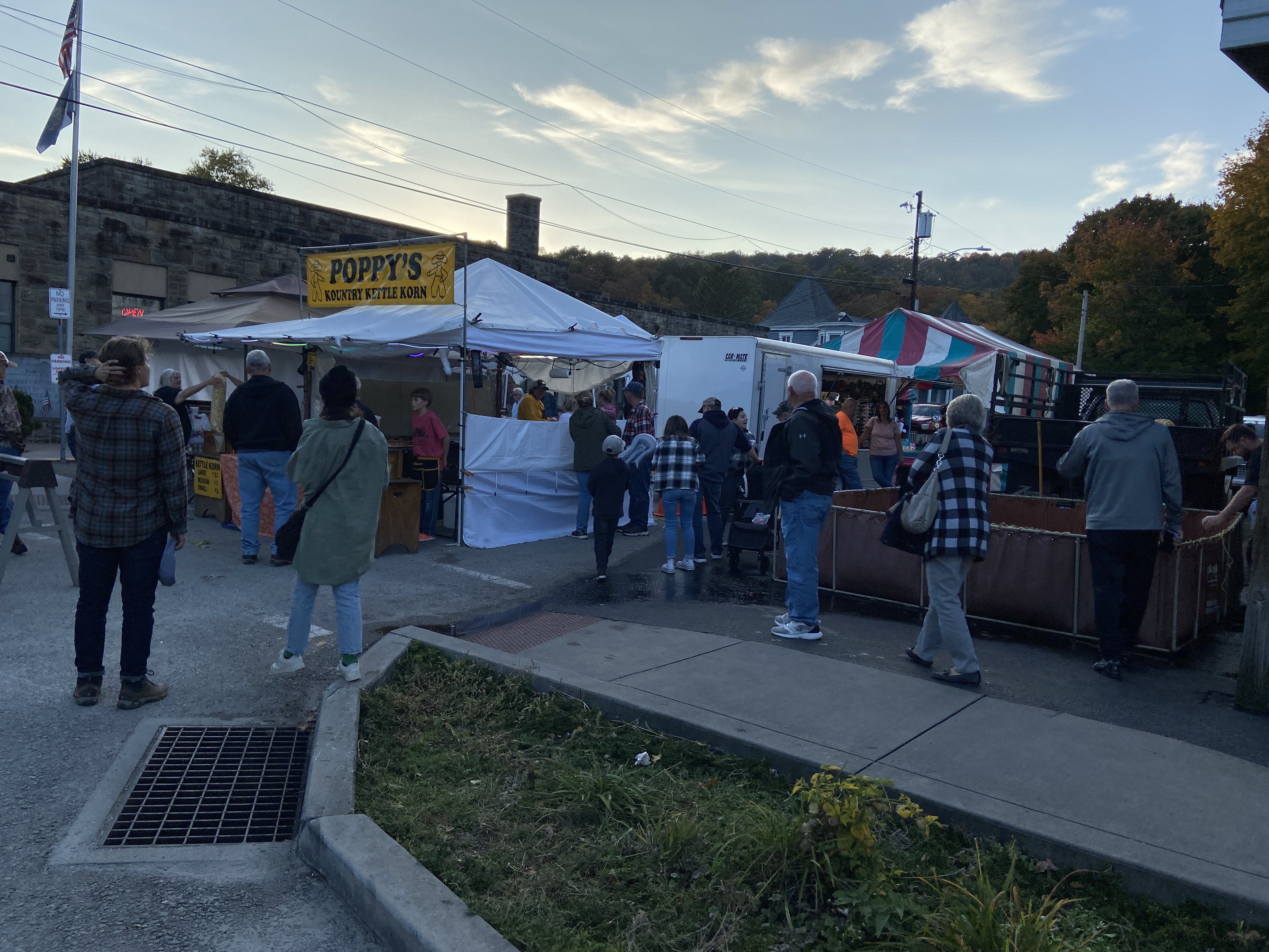
I noticed that there was some special event with several tents set up, but I didn’t find out until the next morning that this was the annual buckwheat festival. Sadly, I missed out on the chance to have buckwheat pancakes for dinner.
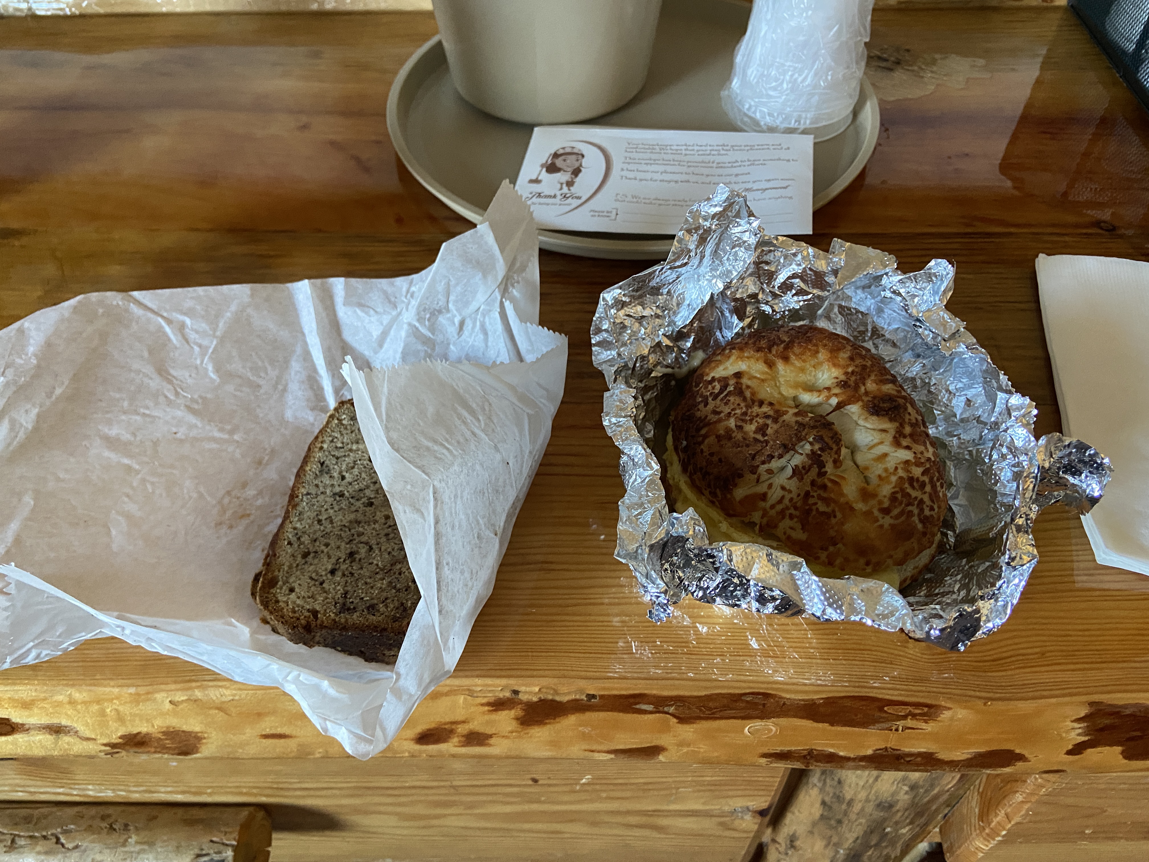
I had breakfast at the Ohiopyle Bakery & Sandwich Shoppe, which is always a favorite of mine when I visit Ohiopyle. I was pretty excited about the day, especially the prospect of covering new miles of trail that I hadn’t seen before.
It was quite cold in the morning; I was very nearly underdressed for the weather. It got better as I started moving and the day went on, but for a moment I thought that I would need to buy extra clothing, since I had not anticipated its being this cold.
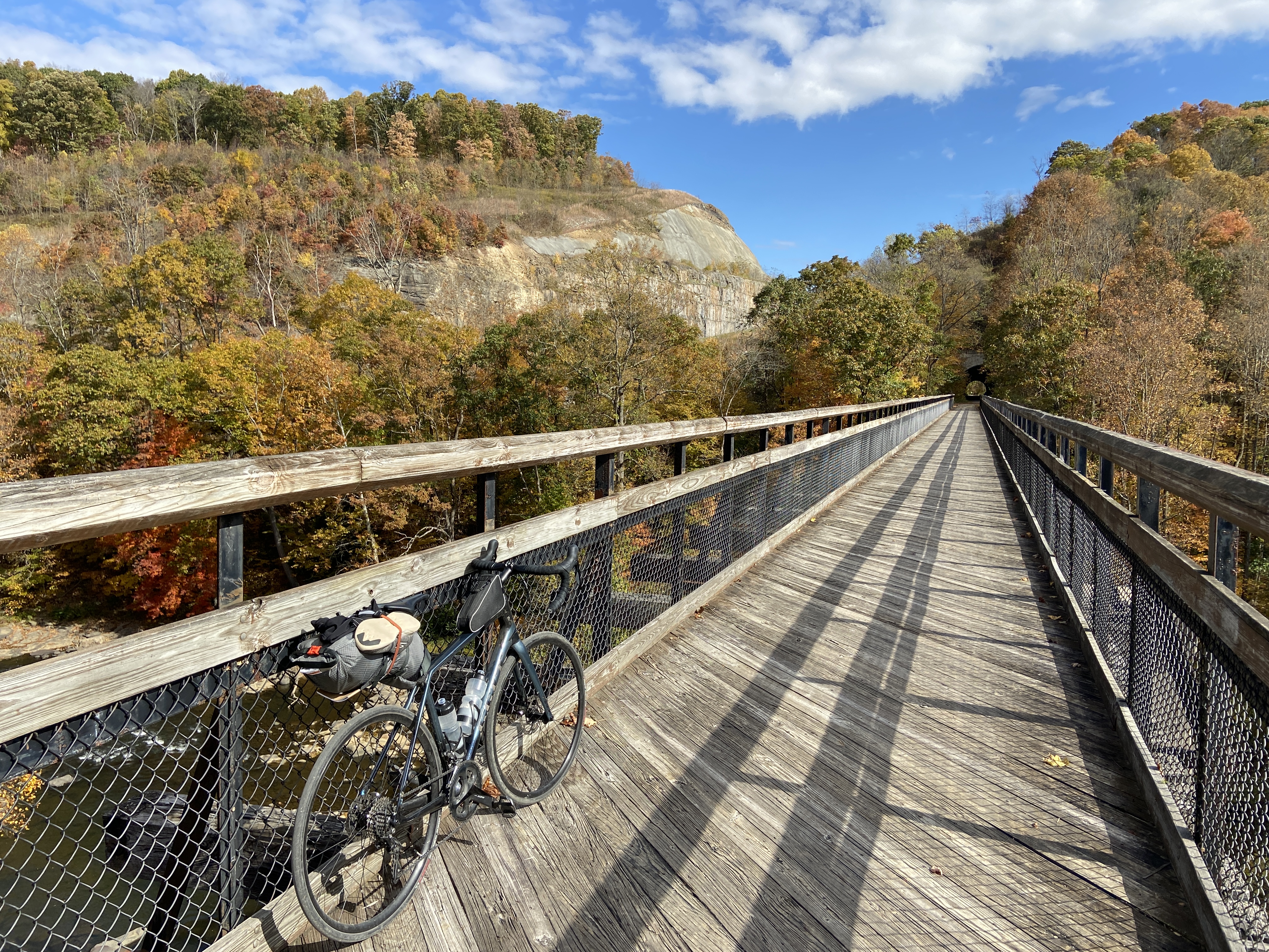
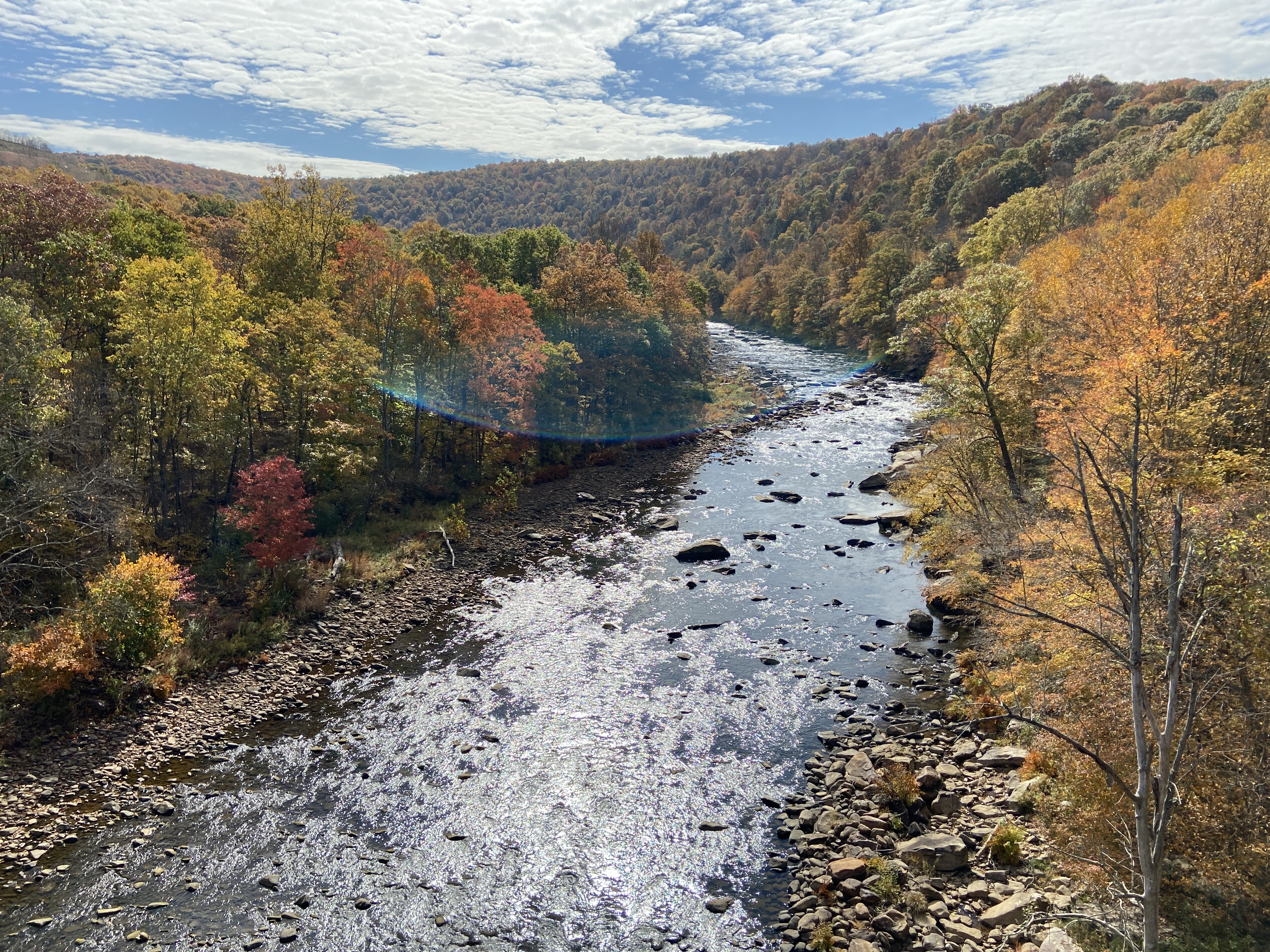
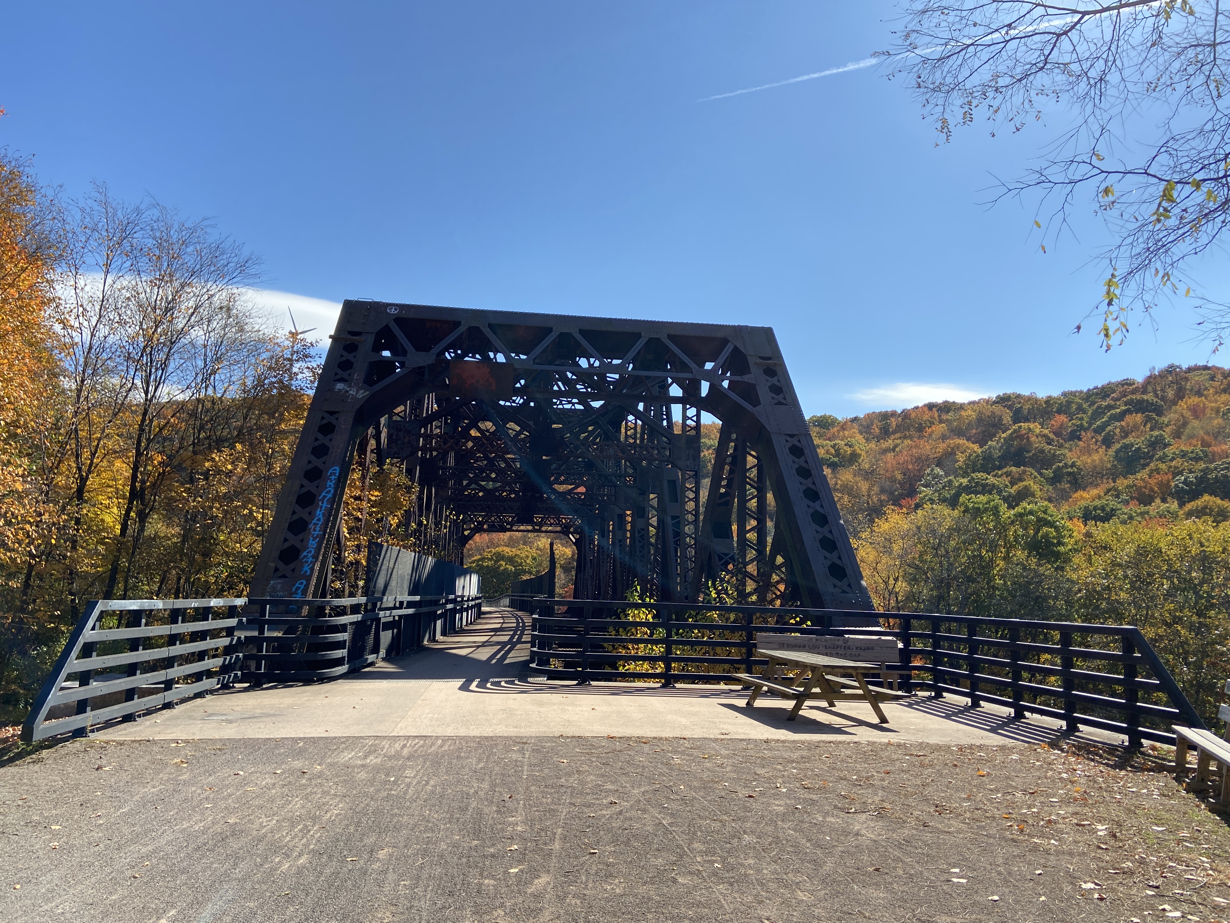
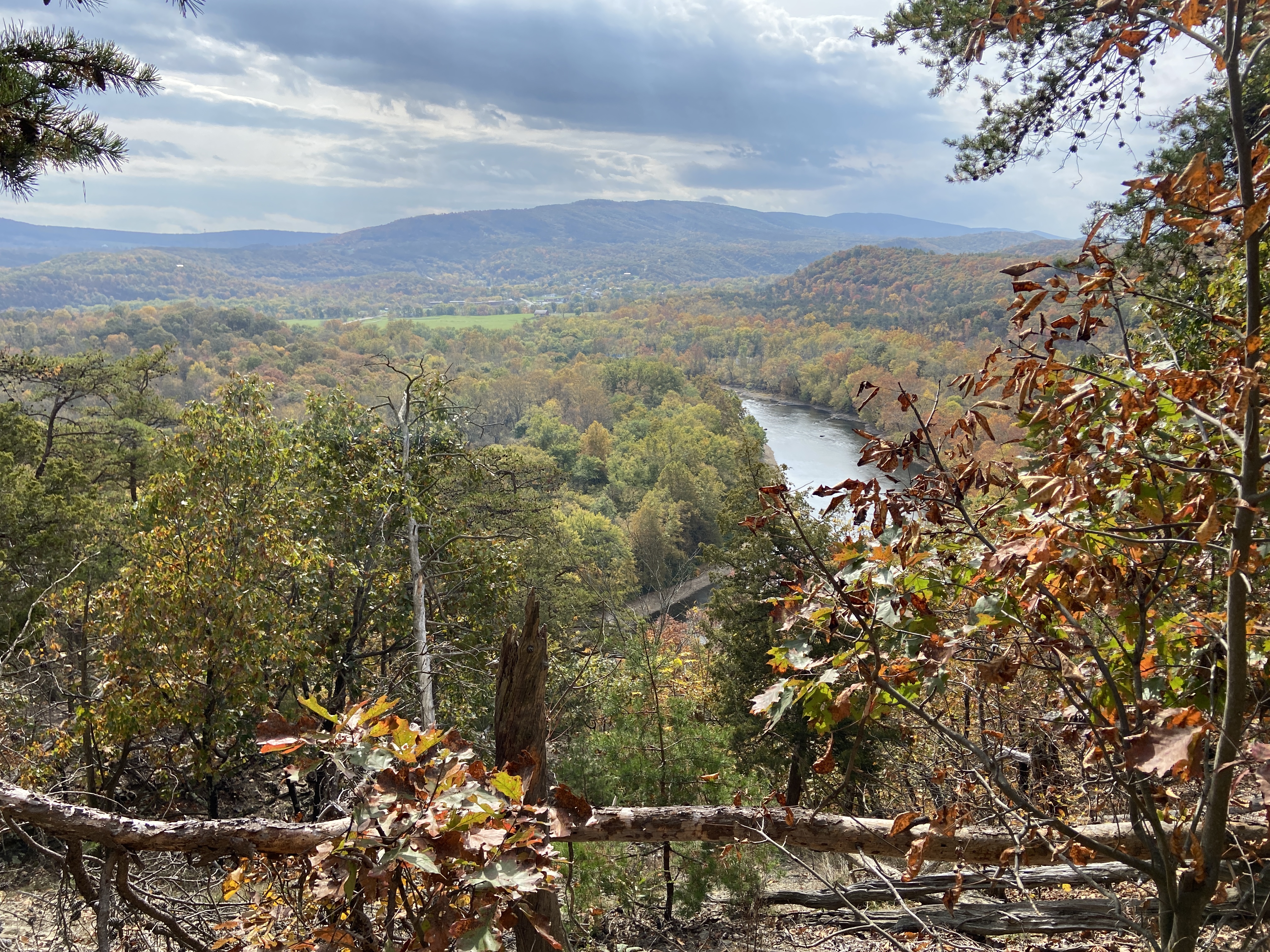
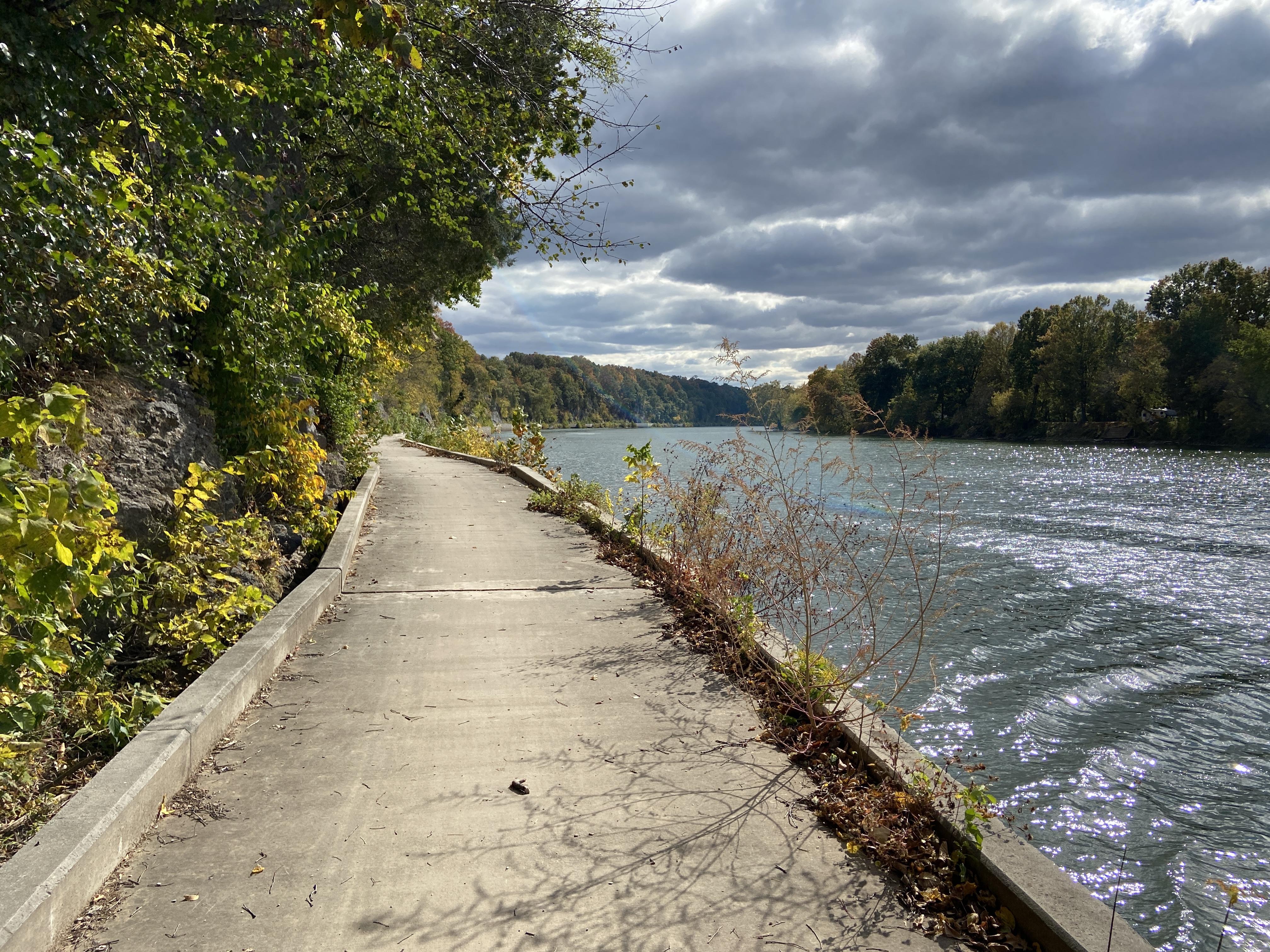
Heading out of Ohiopyle, the trail follows the course of the Youghiogheny River through pretty woodlands to Confluence. This part of the trail is especially attractive during autumn, when the leaves are changing color. The first major attraction along the trail was the Pinkerton Tunnel. The Pinkerton High Bridge, which leads into the tunnel, offers a beautiful view of the Casselman River. I made sure to stop to get a picture.
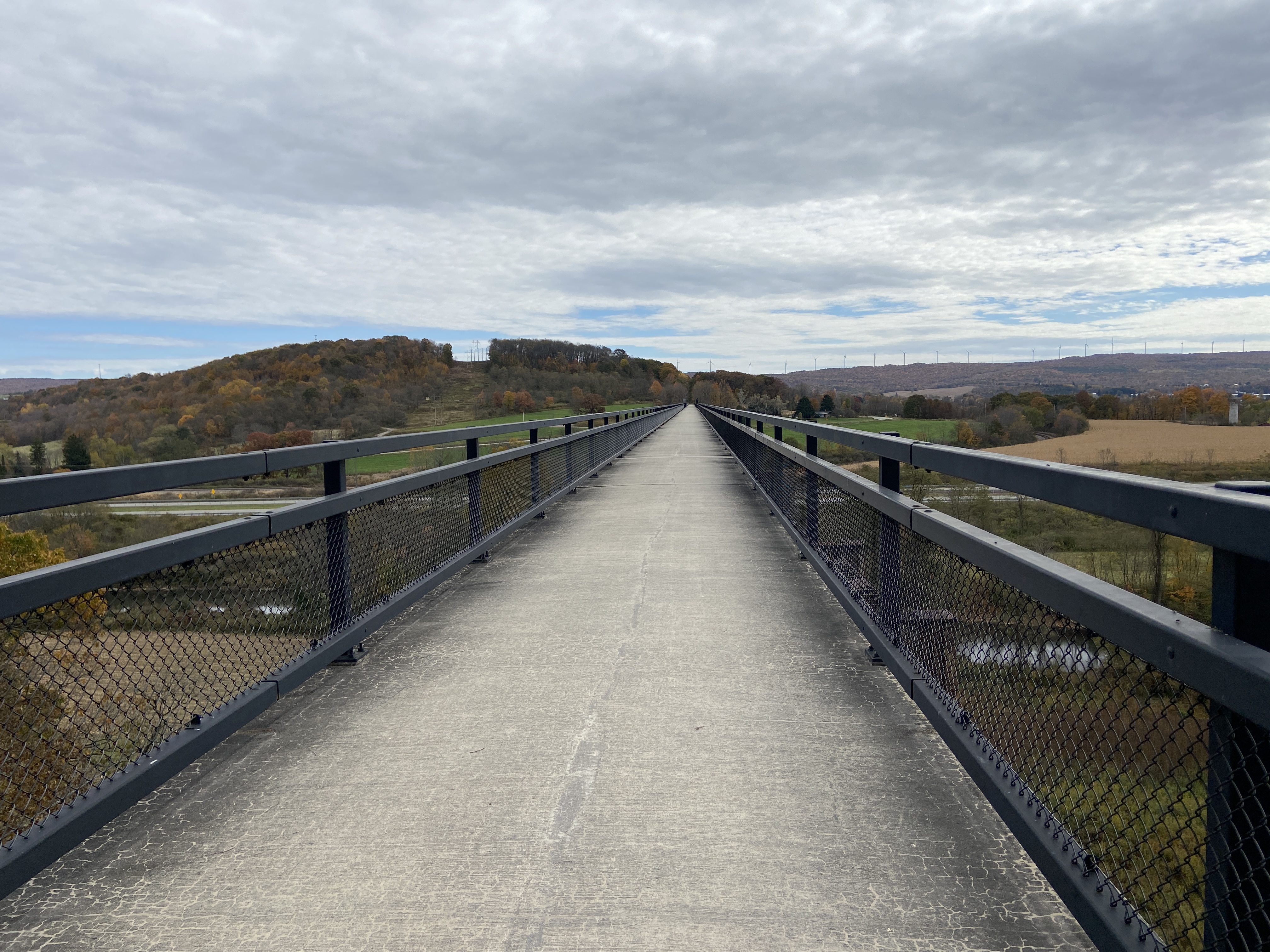
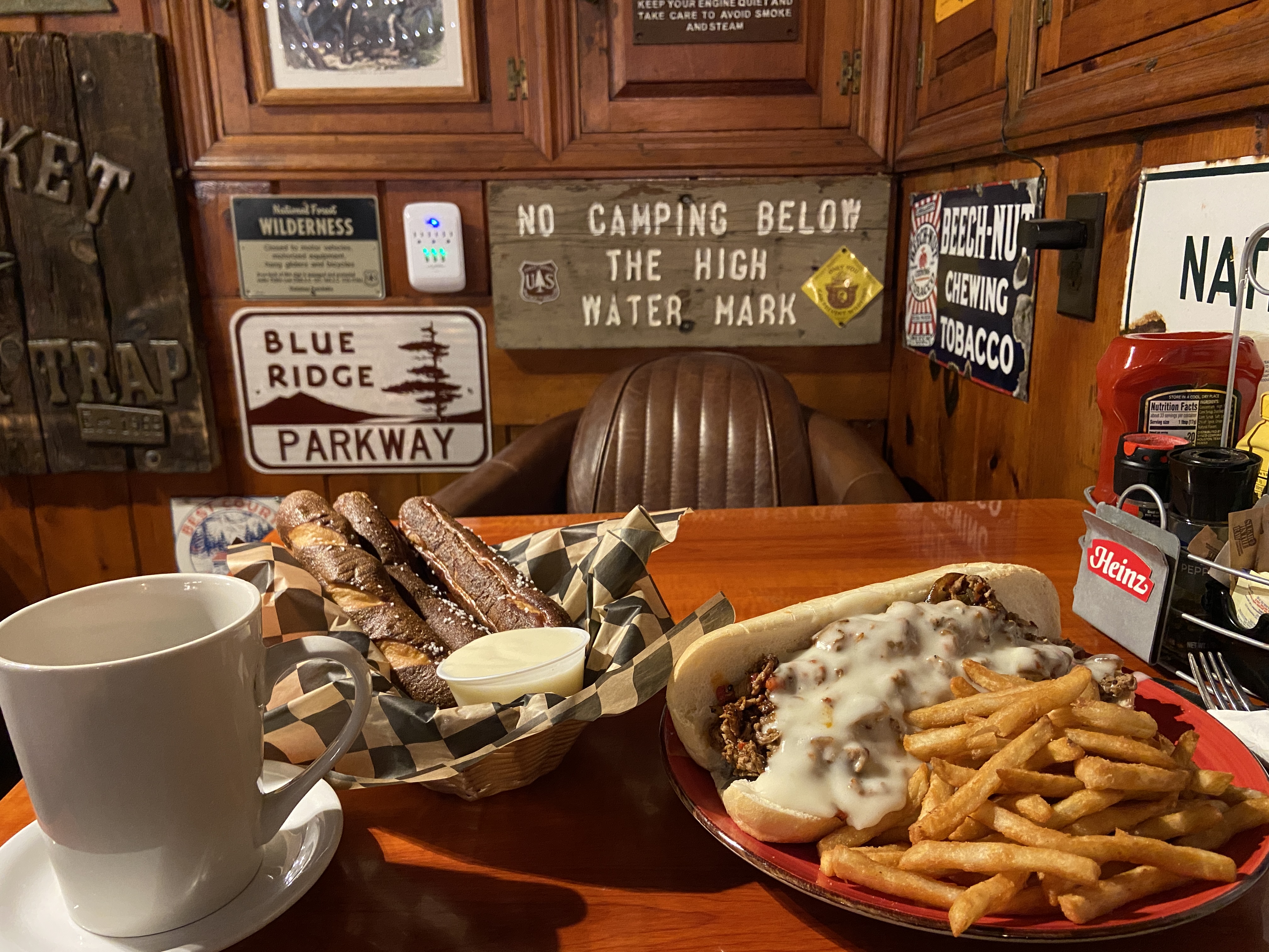
I had been really excited to ride the Salisbury Viaduct, a 1,908 feet long converted rail bridge, but it honestly turned out to be not that impressive. I stopped for lunch at Meyersdale, where I had a cheese steak and briefly talked to some other thru-riders.

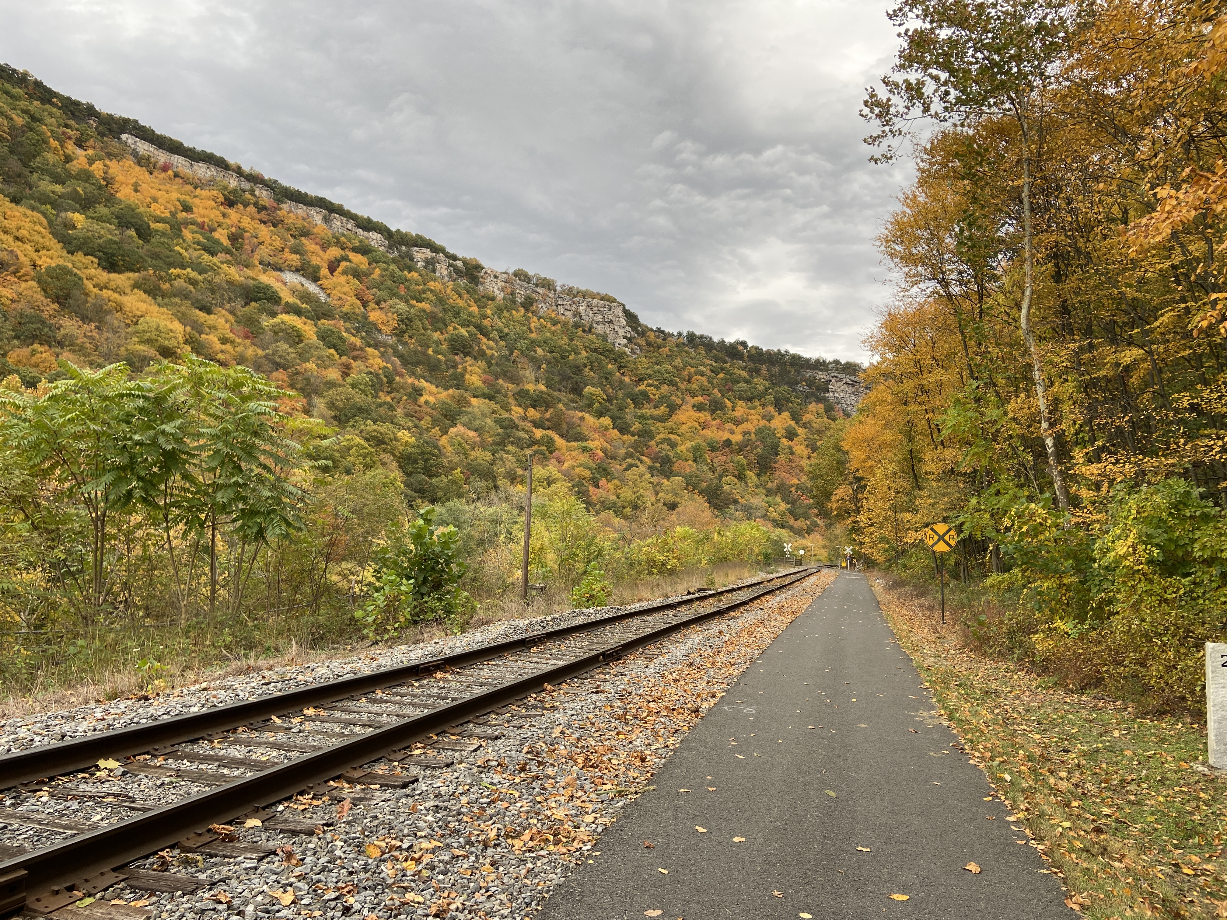
The next portion of the ride, between Meyersdale and Cumberland, was definitely my favorite of the entire trip. From Meyersdale, it’s less than ten miles to the Eastern Continental Divide, the highest point on the trip elevation-wise. From Pittsburgh to the divide, the entire trail is uphill,2 but starting from the divide, everything is (net) downhill! I don’t think you understand how happy that made me.
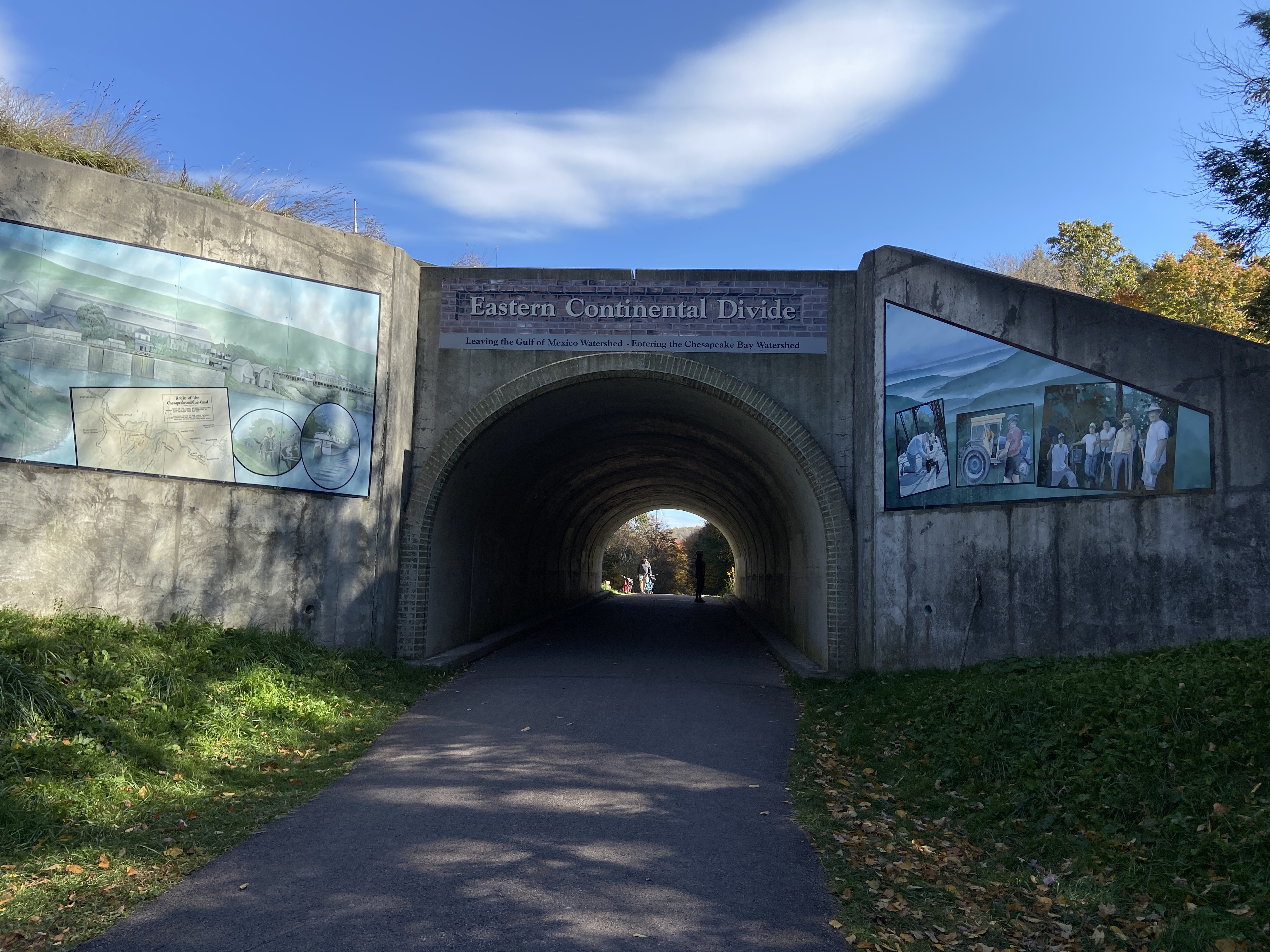
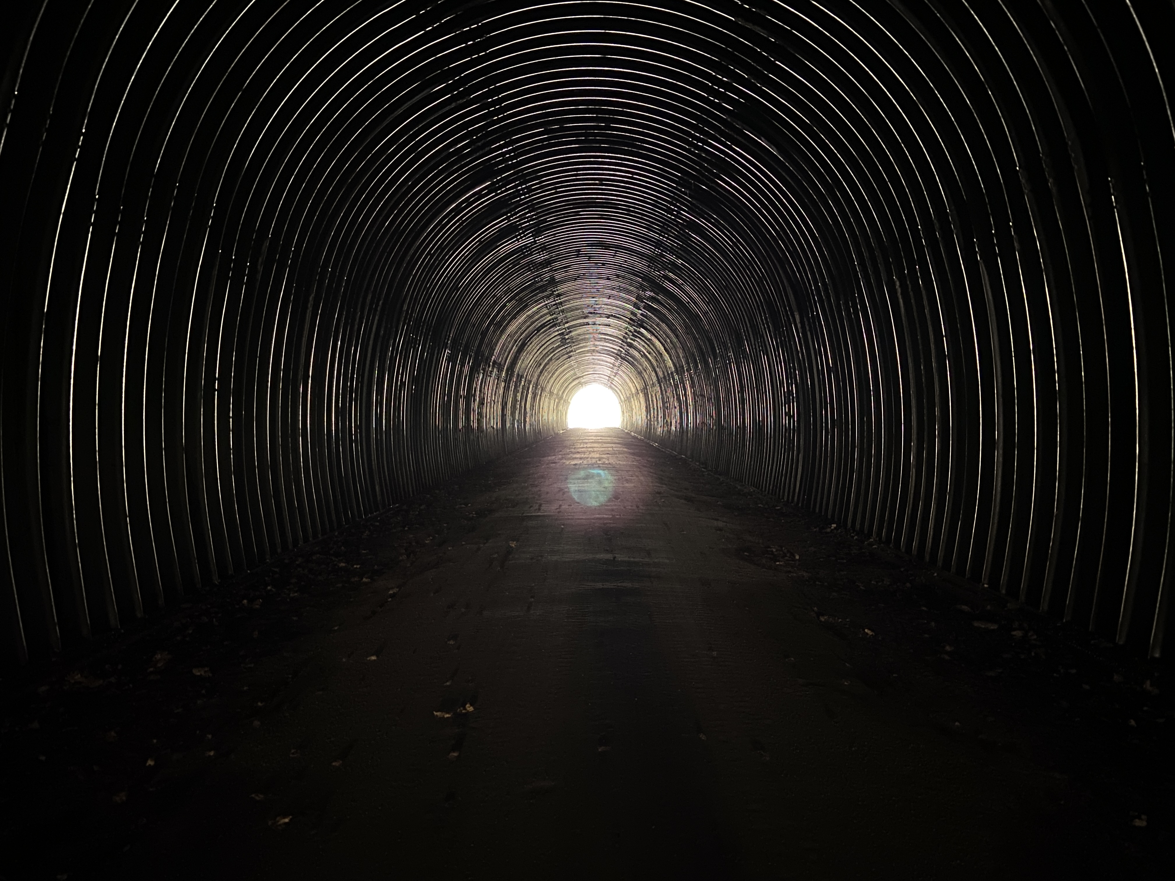
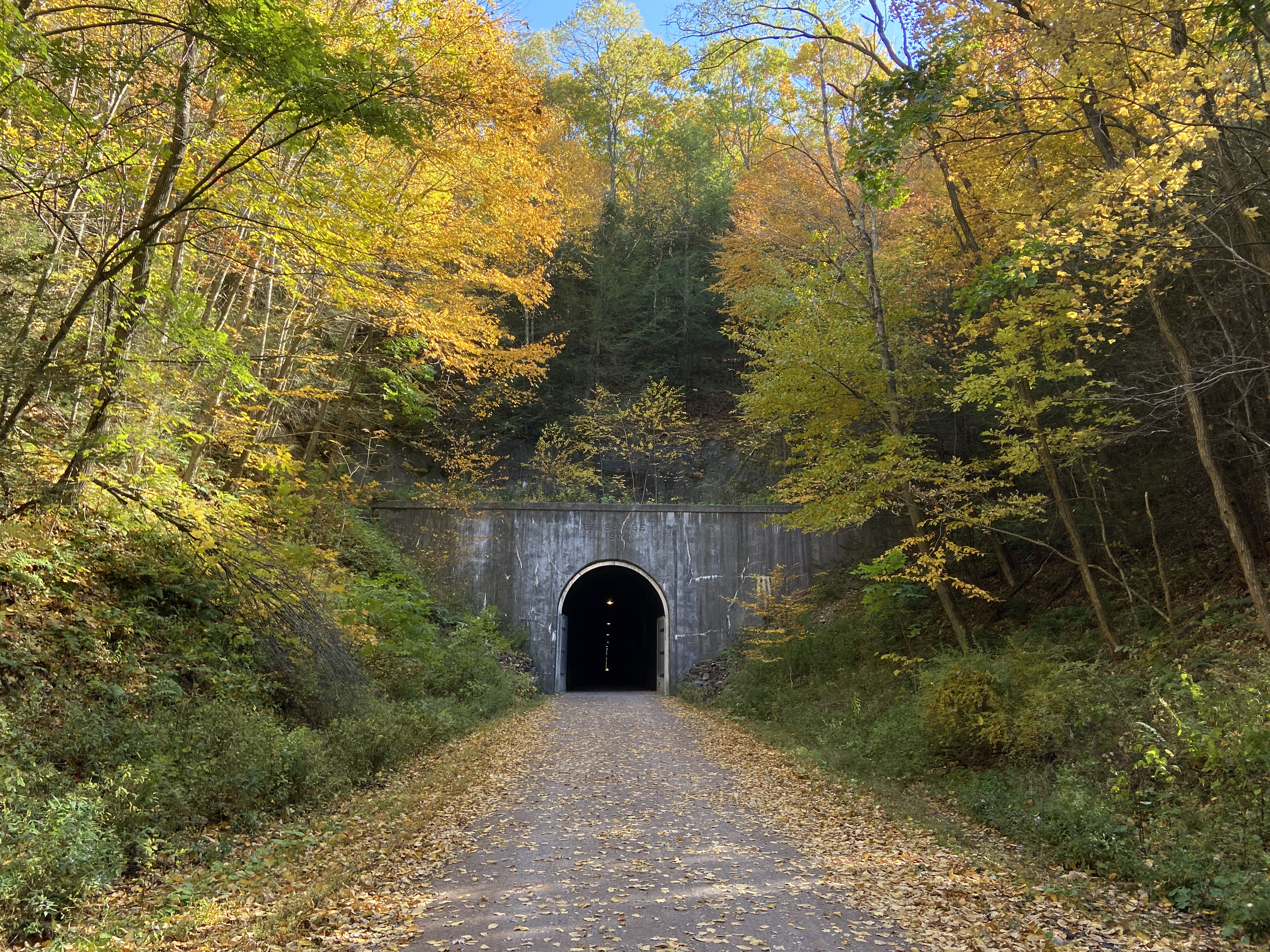
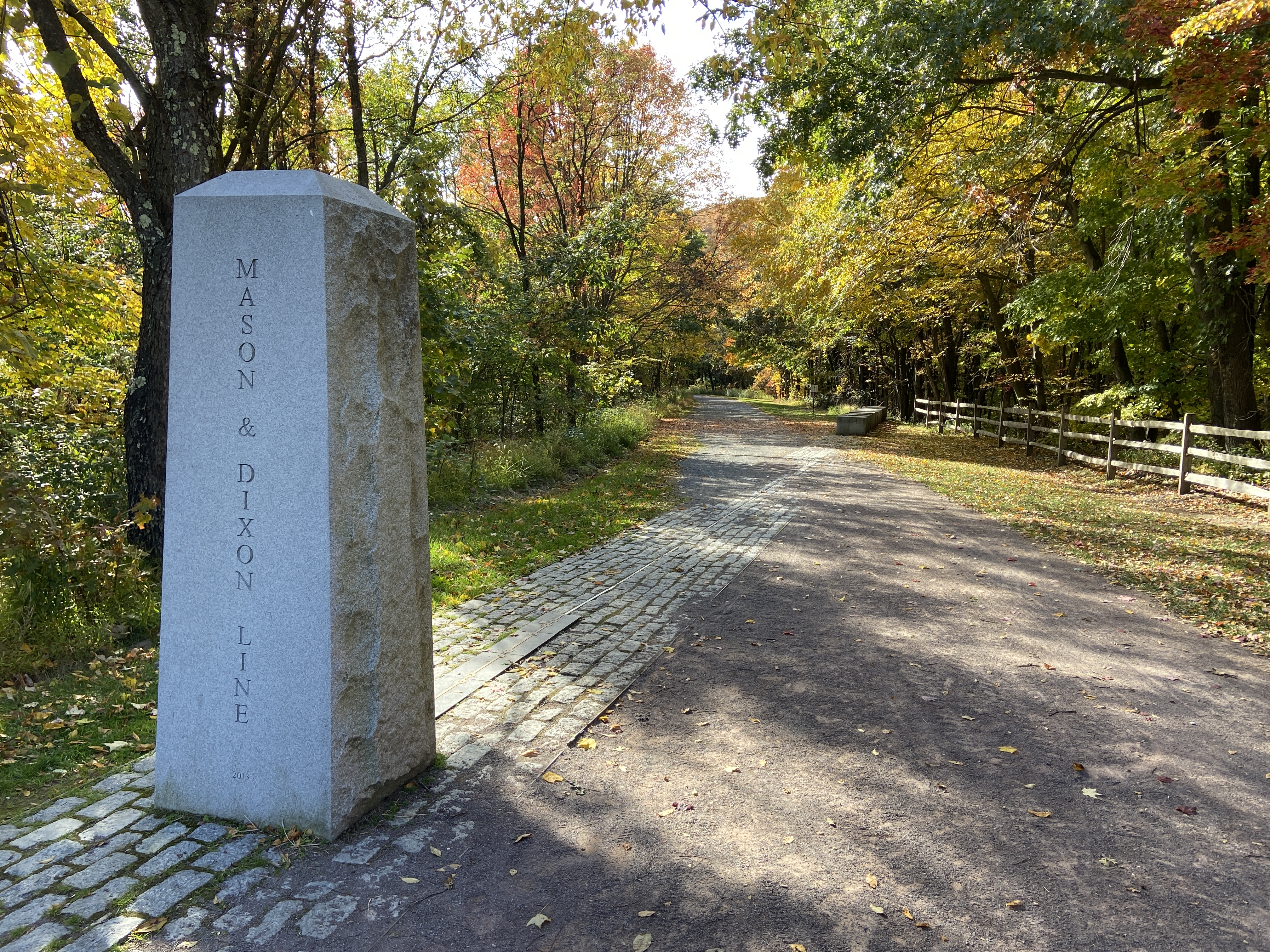
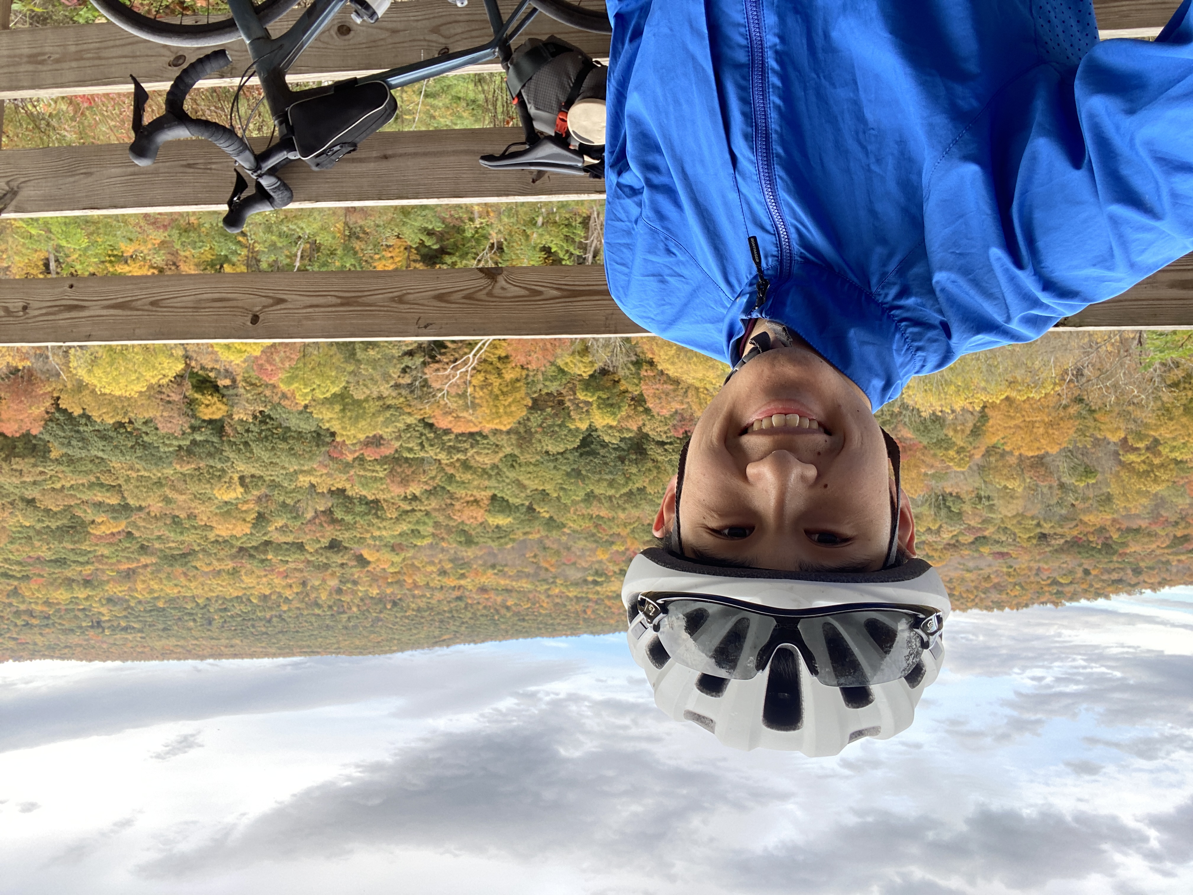
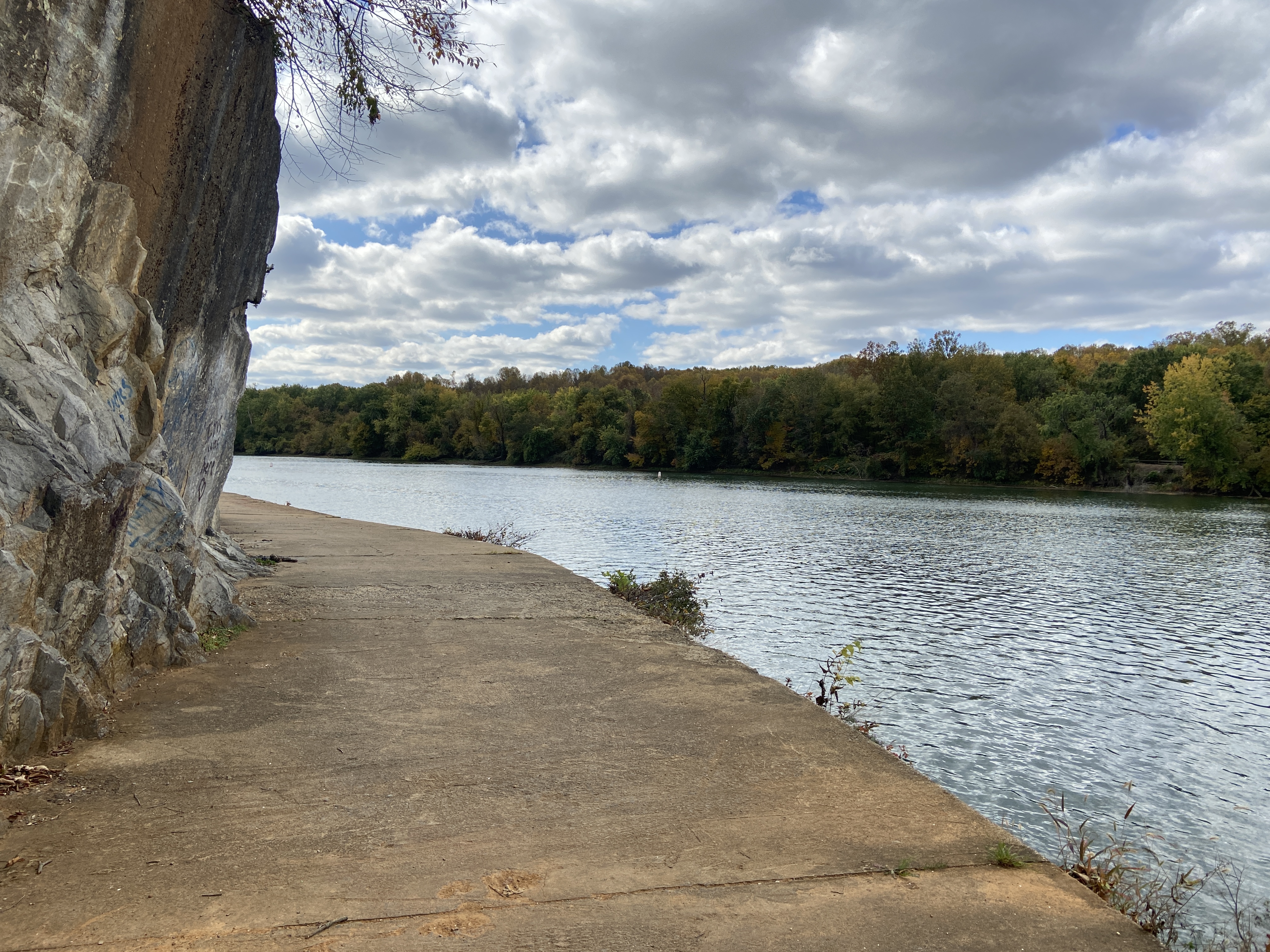
Once I passed the last sustained climb to the Eastern Continental Divide, I began to hit attraction after attraction. I went through the Big Savage Tunnel, which is the longest tunnel on the trail at 2,393 feet. Shortly after that, I hit the historic Mason–Dixon line, which forms the border between Pennsylvania and Maryland.
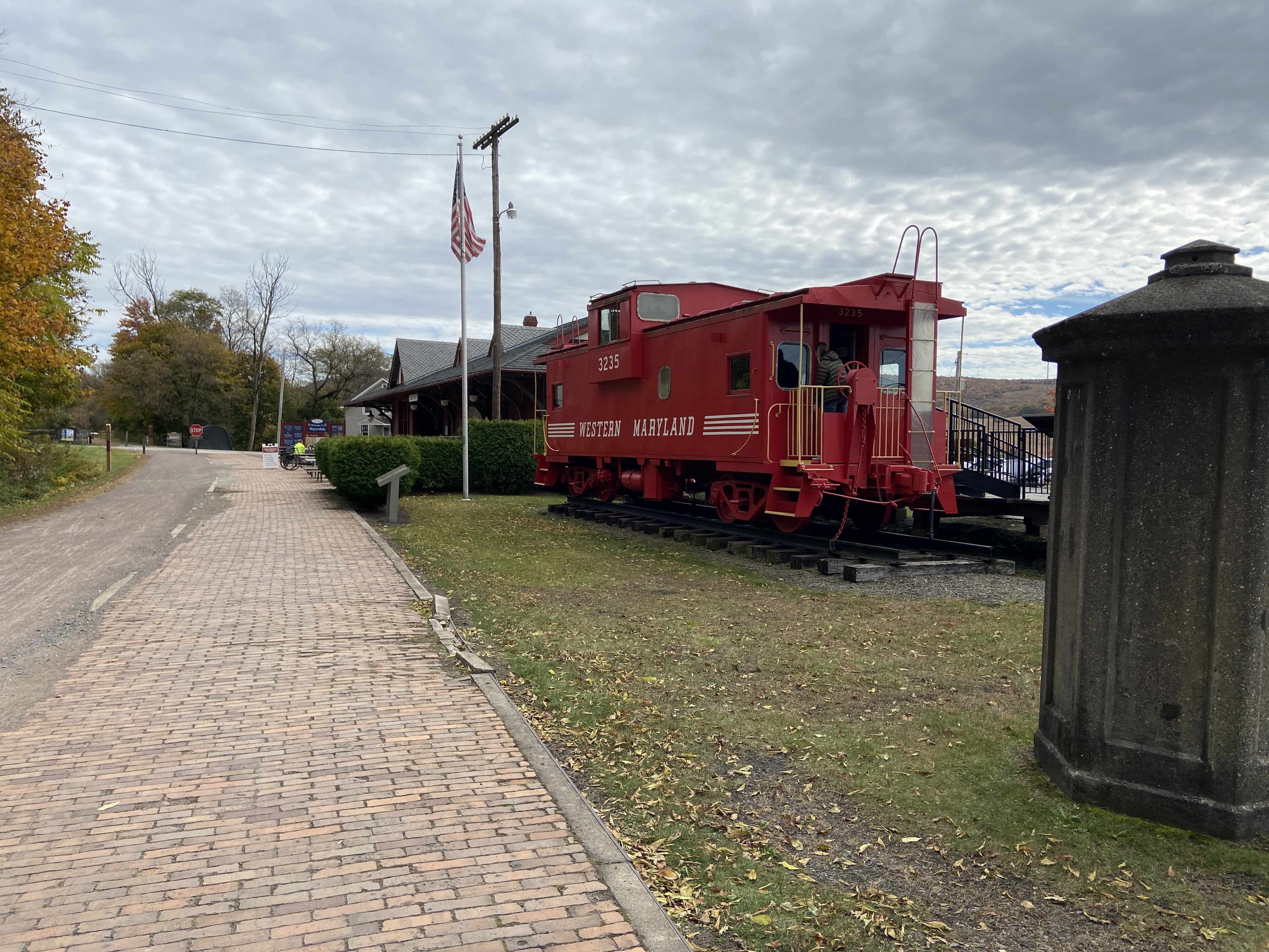
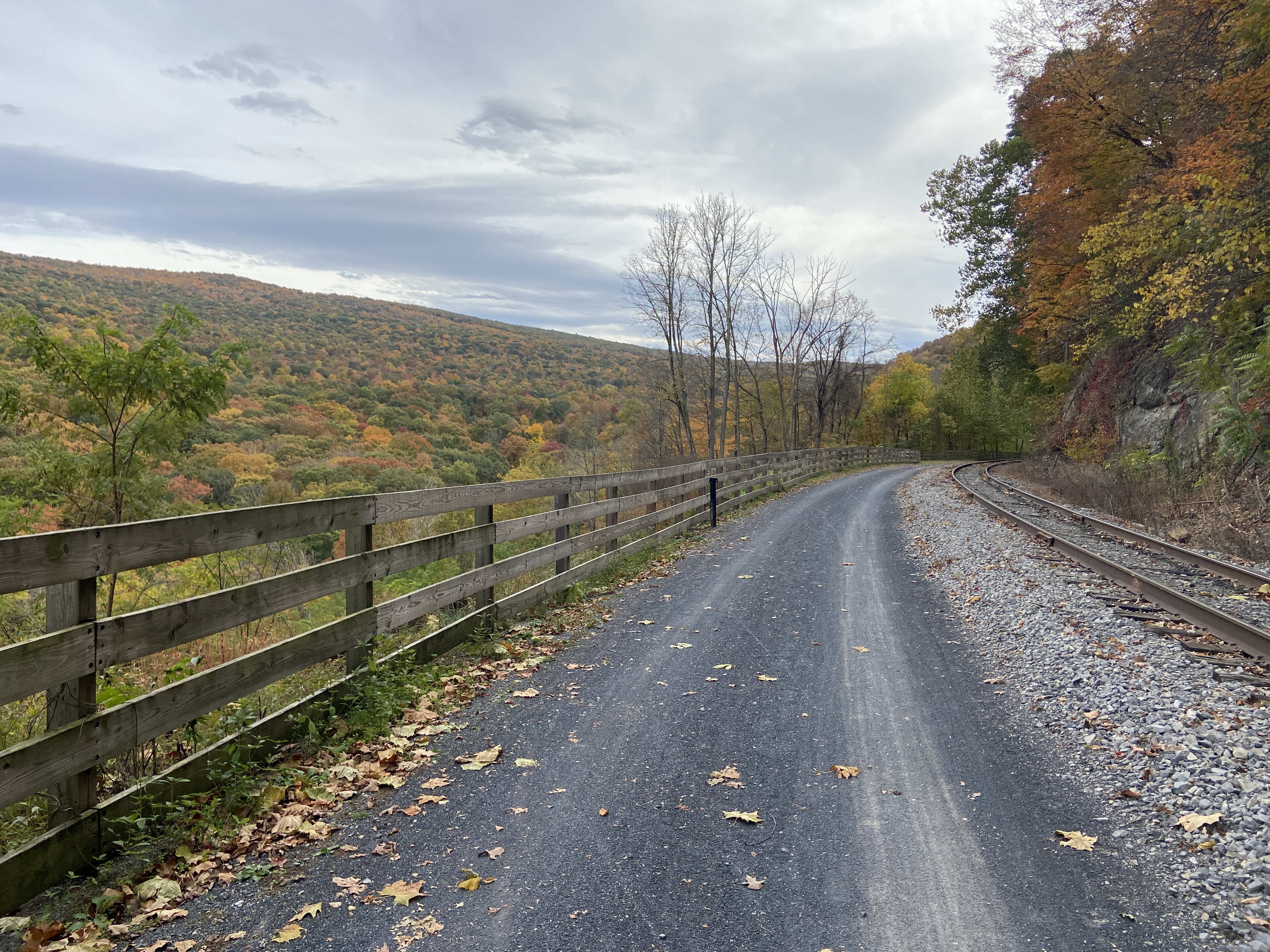
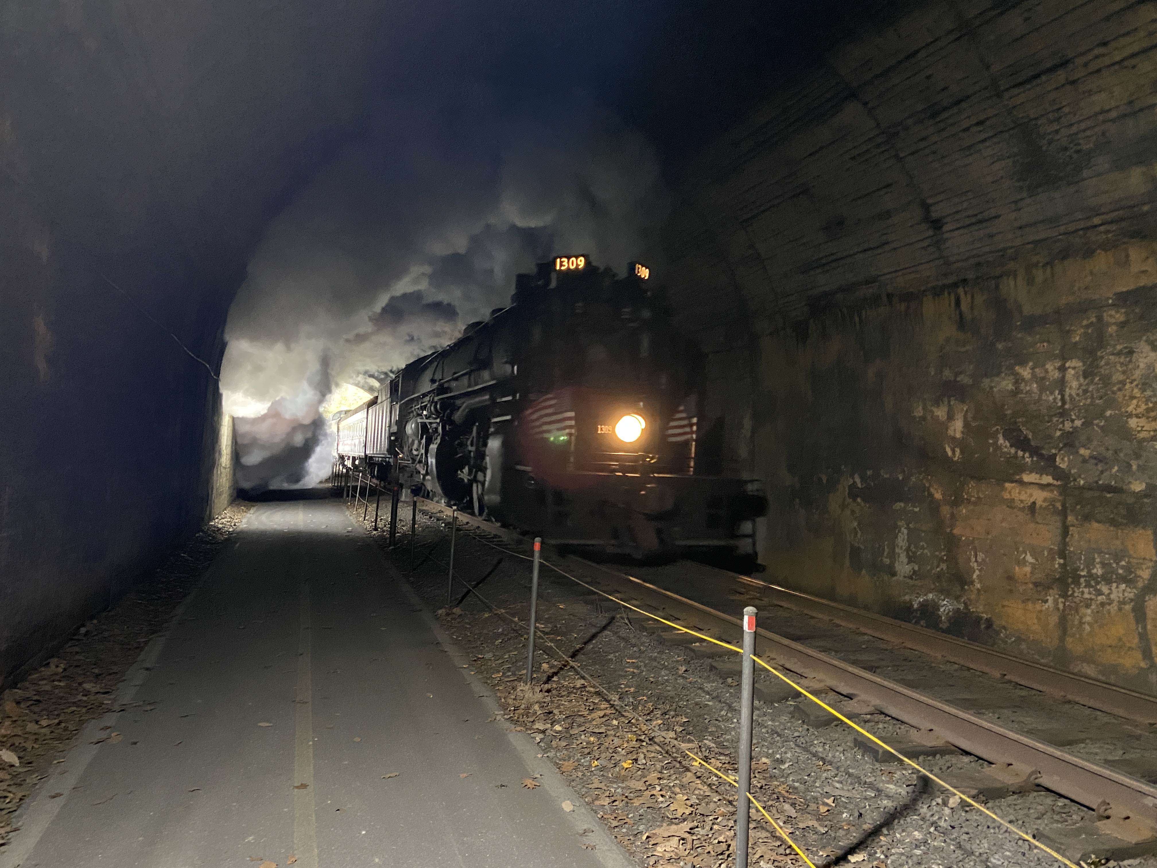
Sometime after that, the trail arrives at Frostburg, where it begins to follow the Western Maryland Scenic Railroad. I have to say: I totally understand why they built a scenic railroad here; it’s absolutely gorgeous with the autumn leaves. I made sure to take lots of pictures here. As I was passing through one tunnel, a train passed through in the opposite direction, which made for a very neat picture. I’m sure breathing in the steam from the engine isn’t bad for you, right?


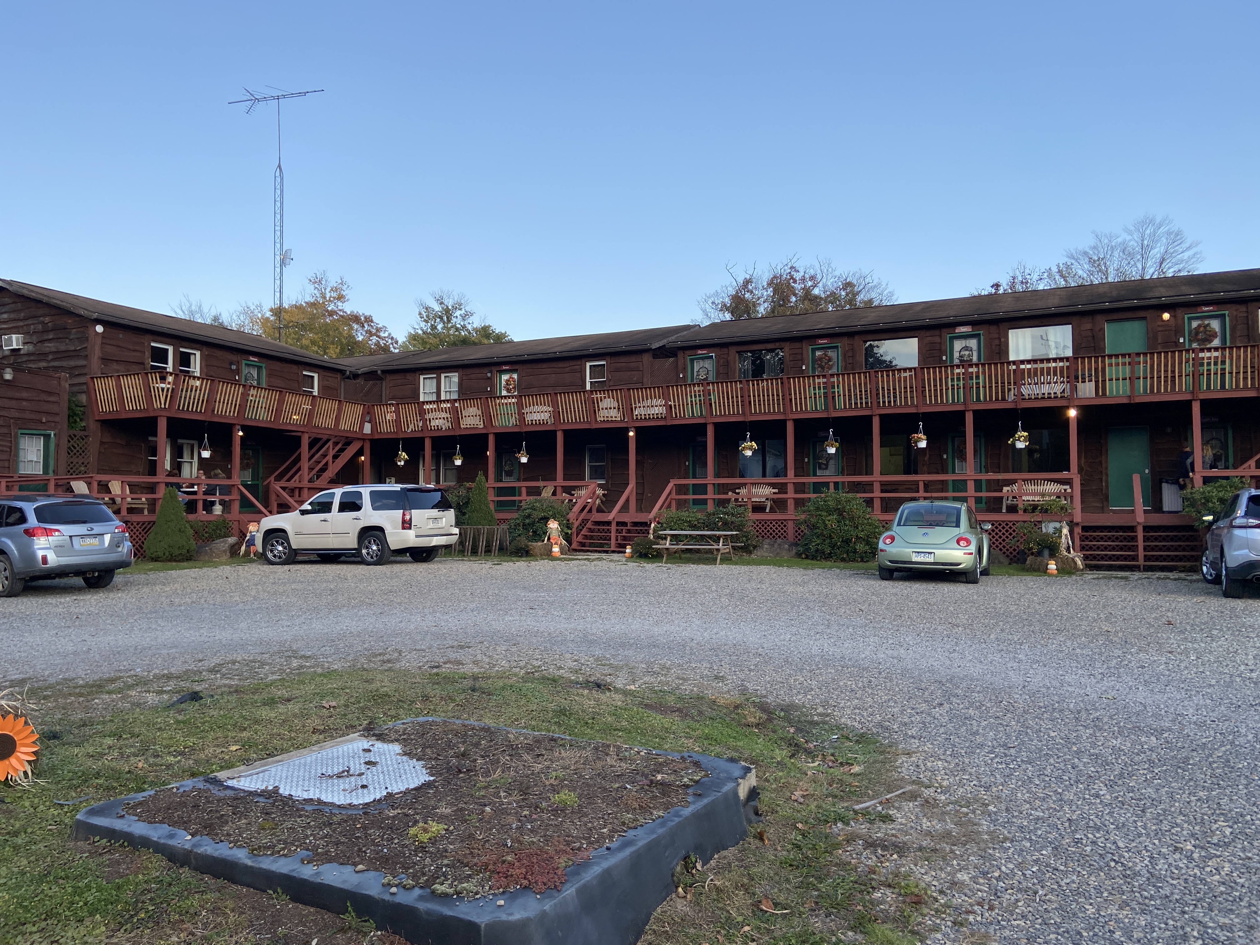
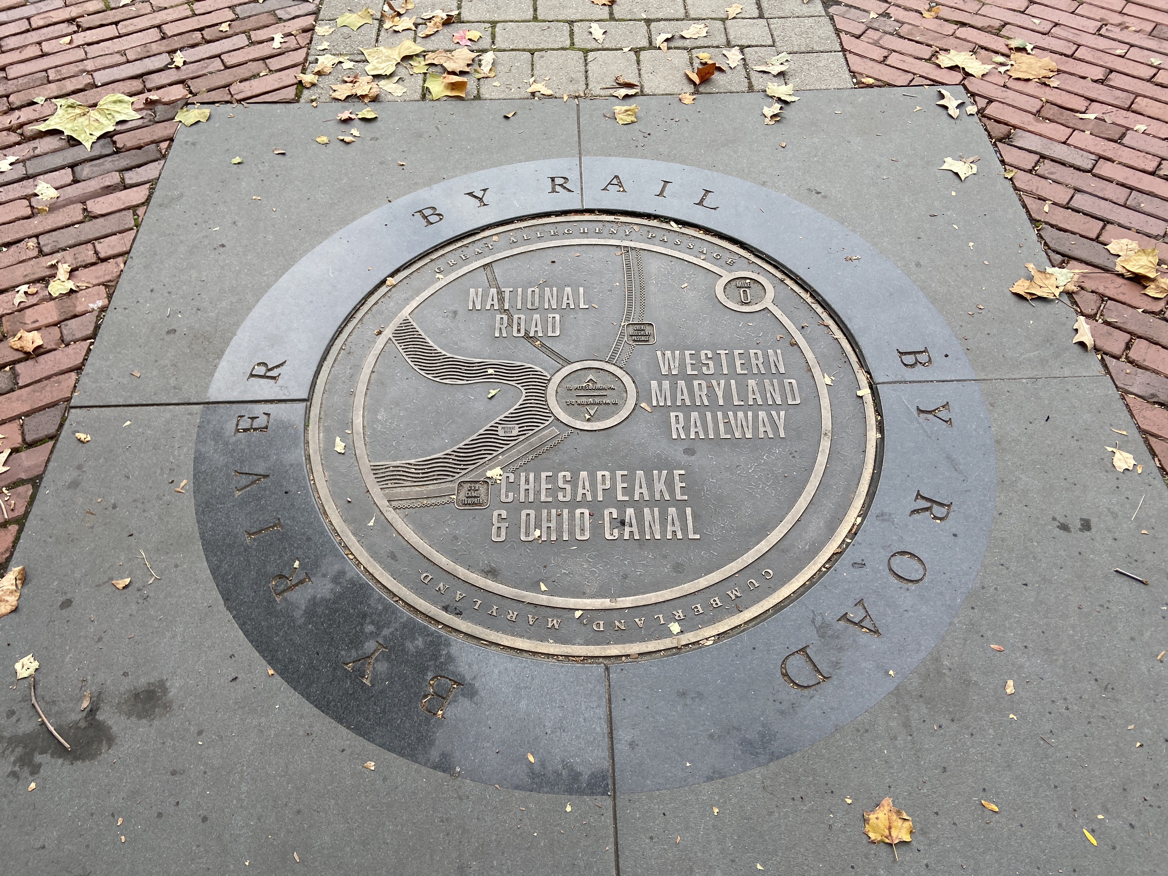
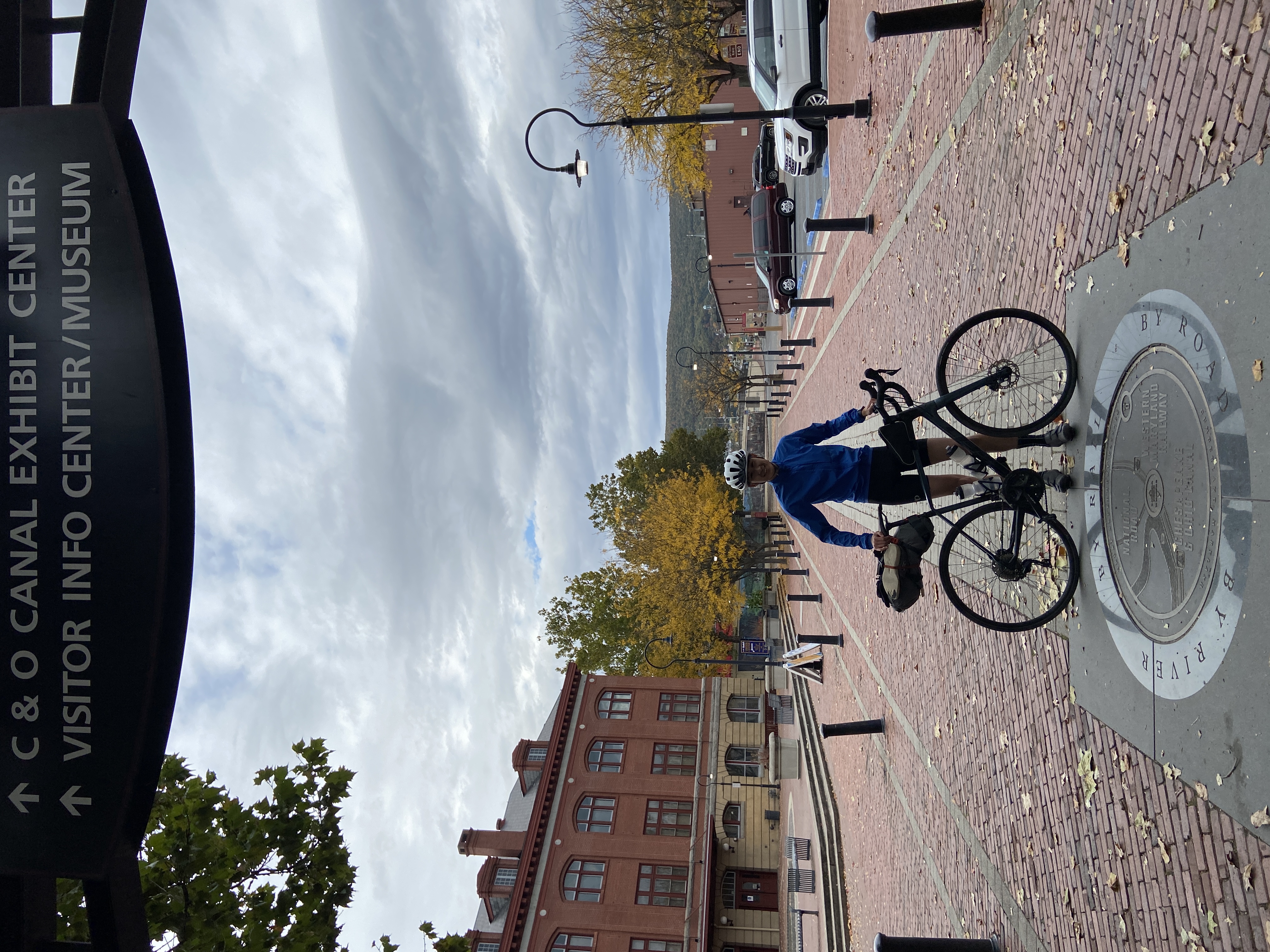
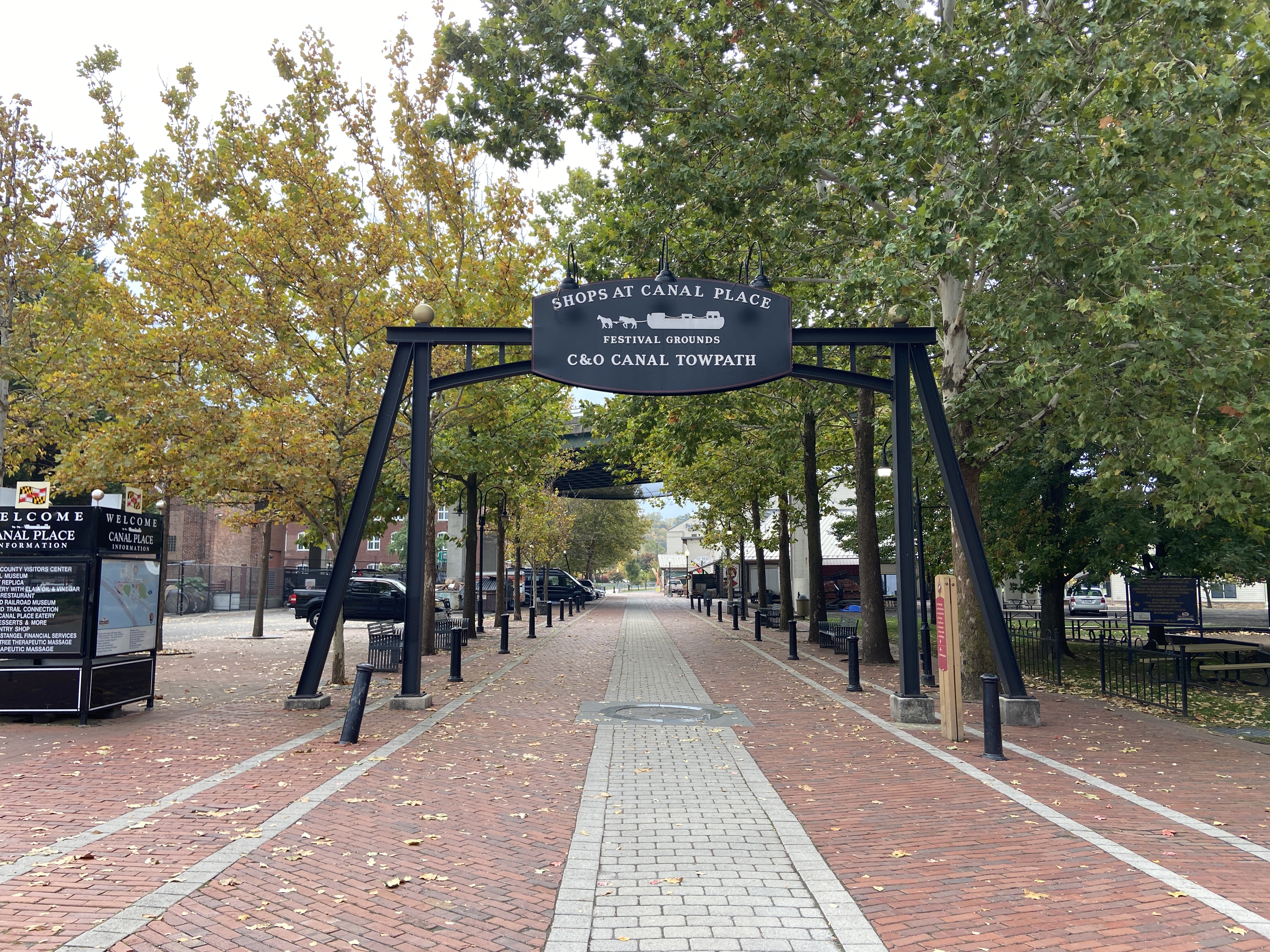
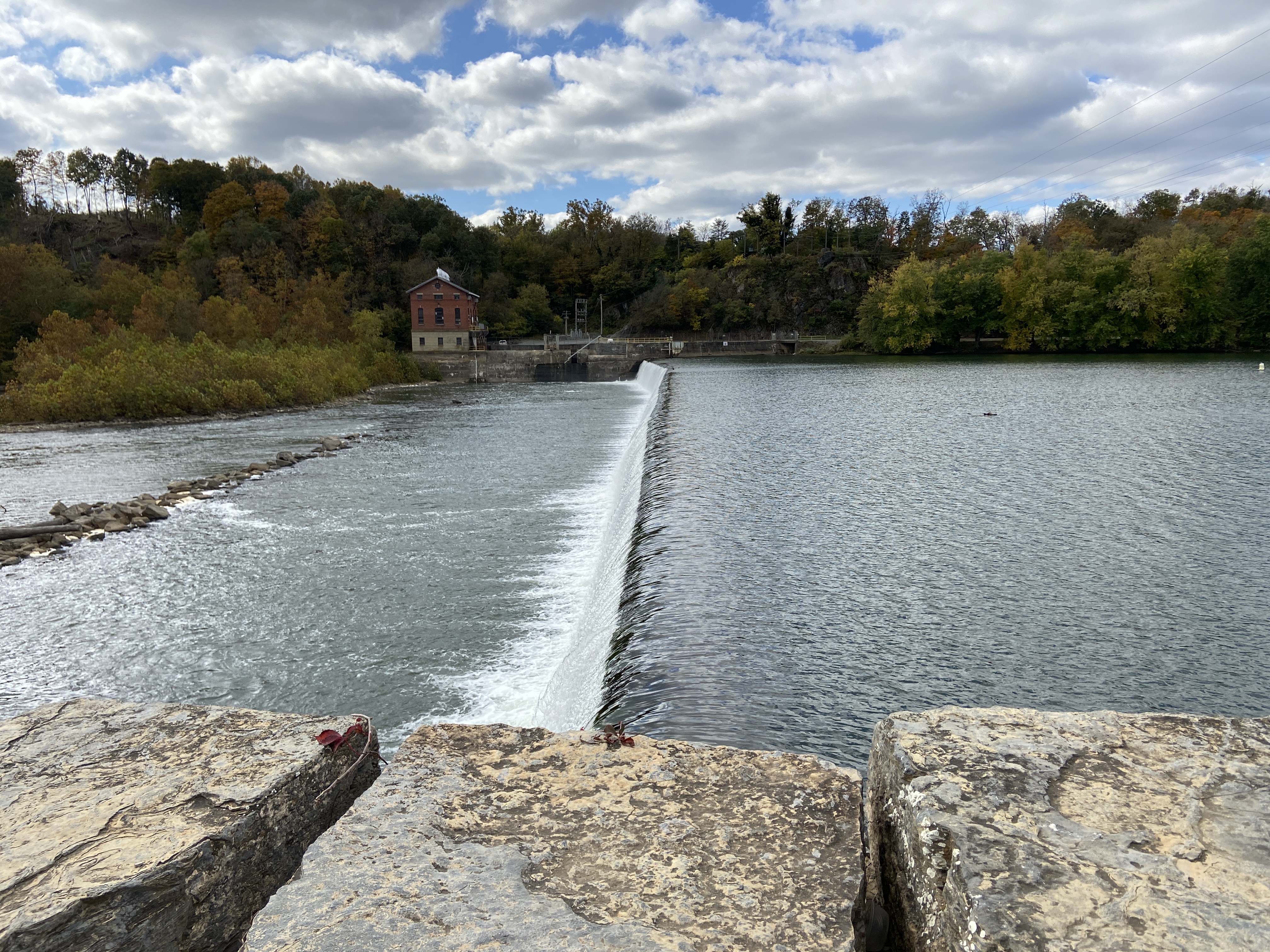
Finally, I arrived at Cumberland, where I stayed at a basic but serviceable hotel. A kind lady offered to take a picture of me at the junction between the GAP and C&O.
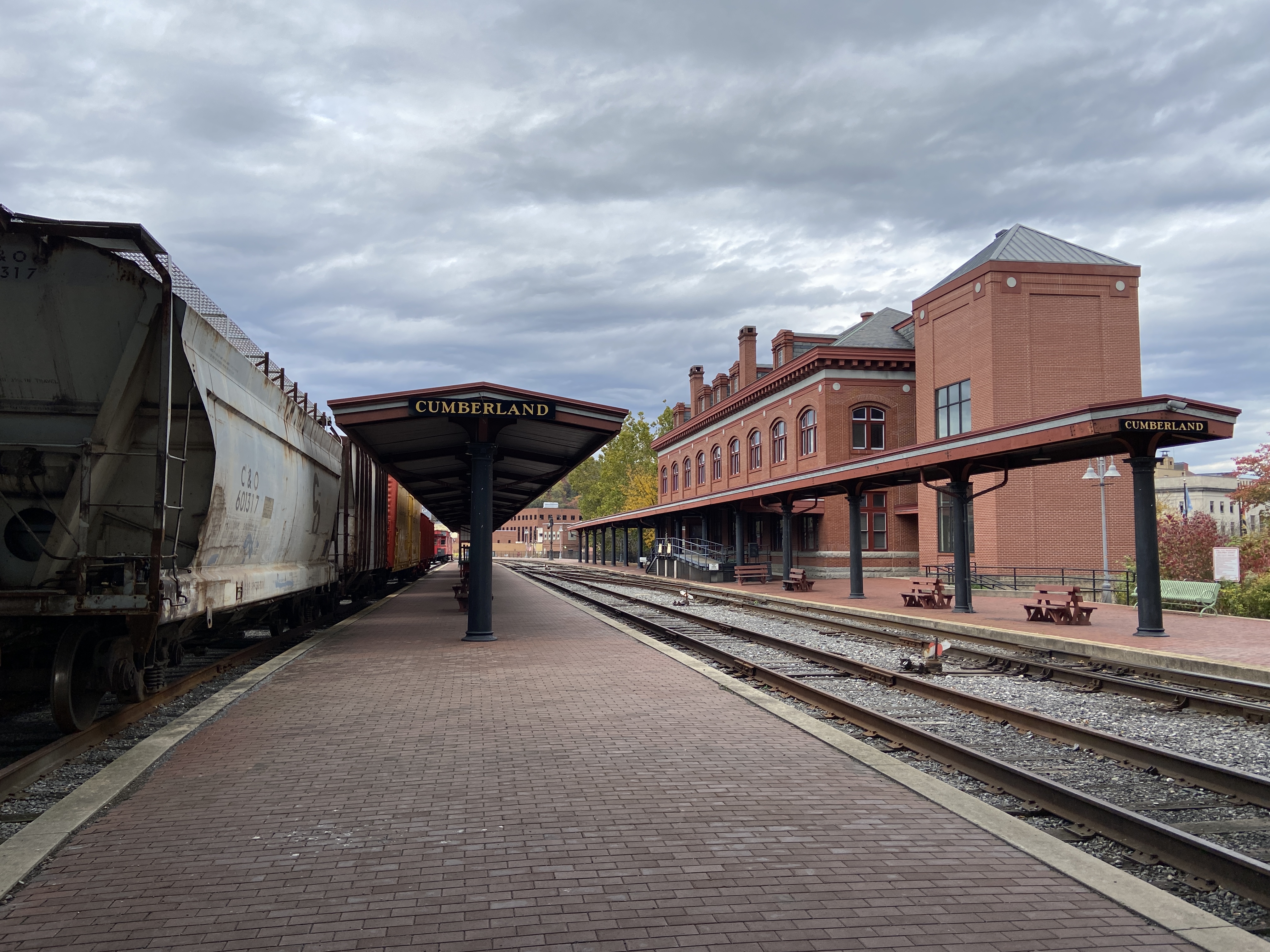
I was in rather high spirits after the wonderfully scenic descent into Cumberland—the last miles were even on tarmac! I also felt somewhat accomplished, having arrived at the end of the GAP. Tomorrow, I would embark on the unfamiliar C&O to make my way toward Washington.
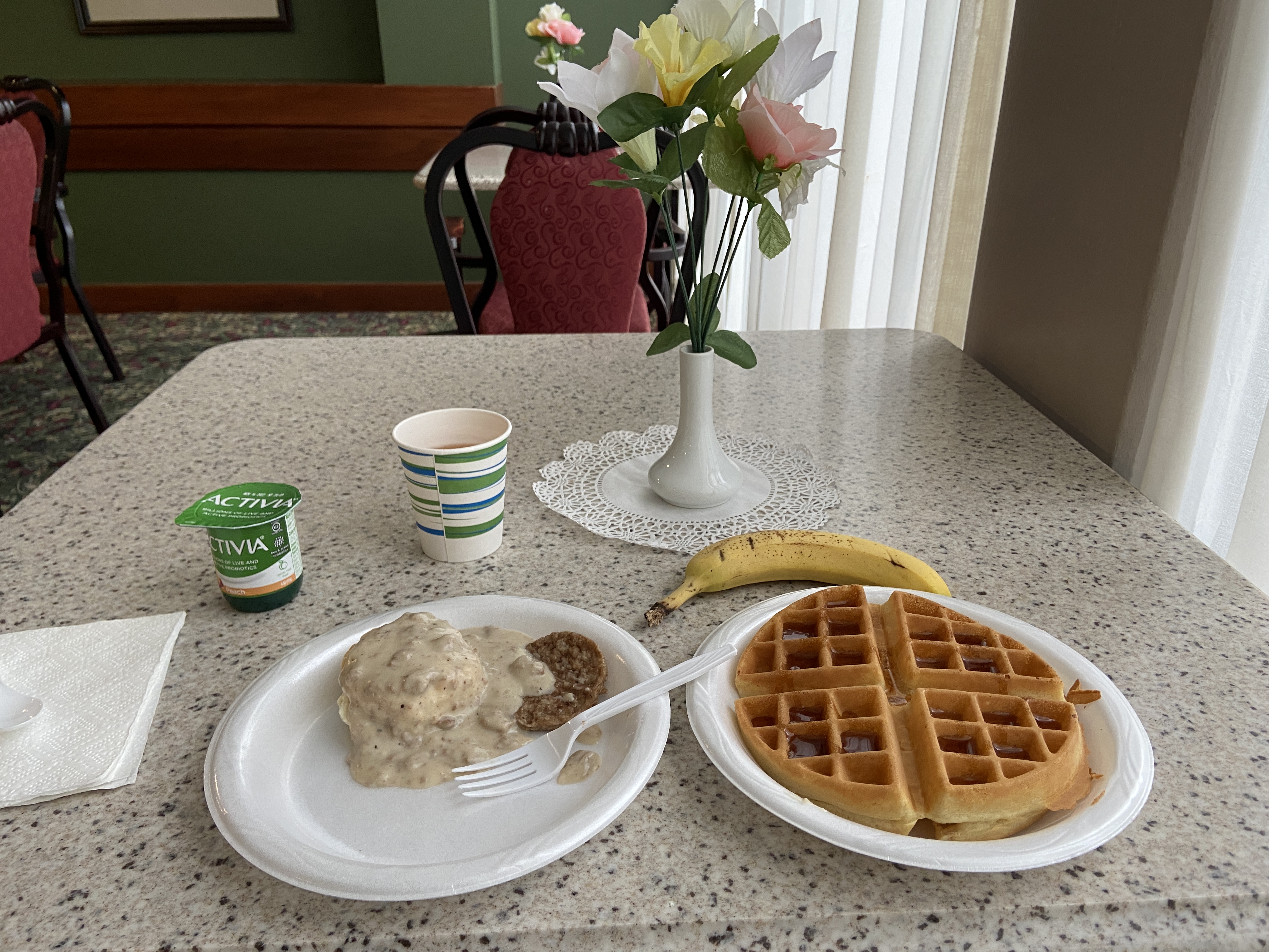
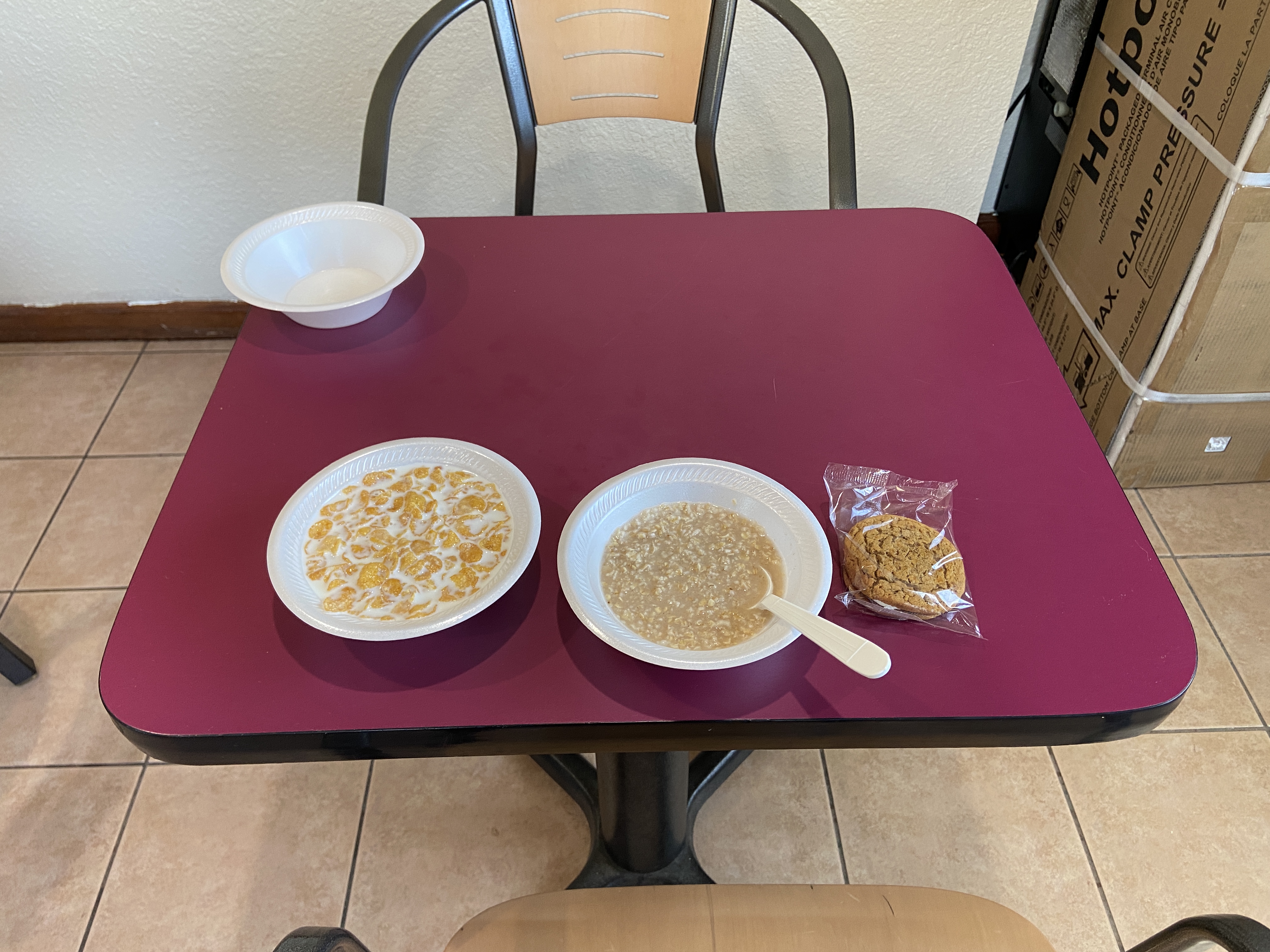
I woke up on day three to a somewhat unimpressive hotel breakfast. I had had a bit of a restless night. I also noticed that I tended to start my days rather late; I saw other cyclists checking out of the hotel when I went down to breakfast.
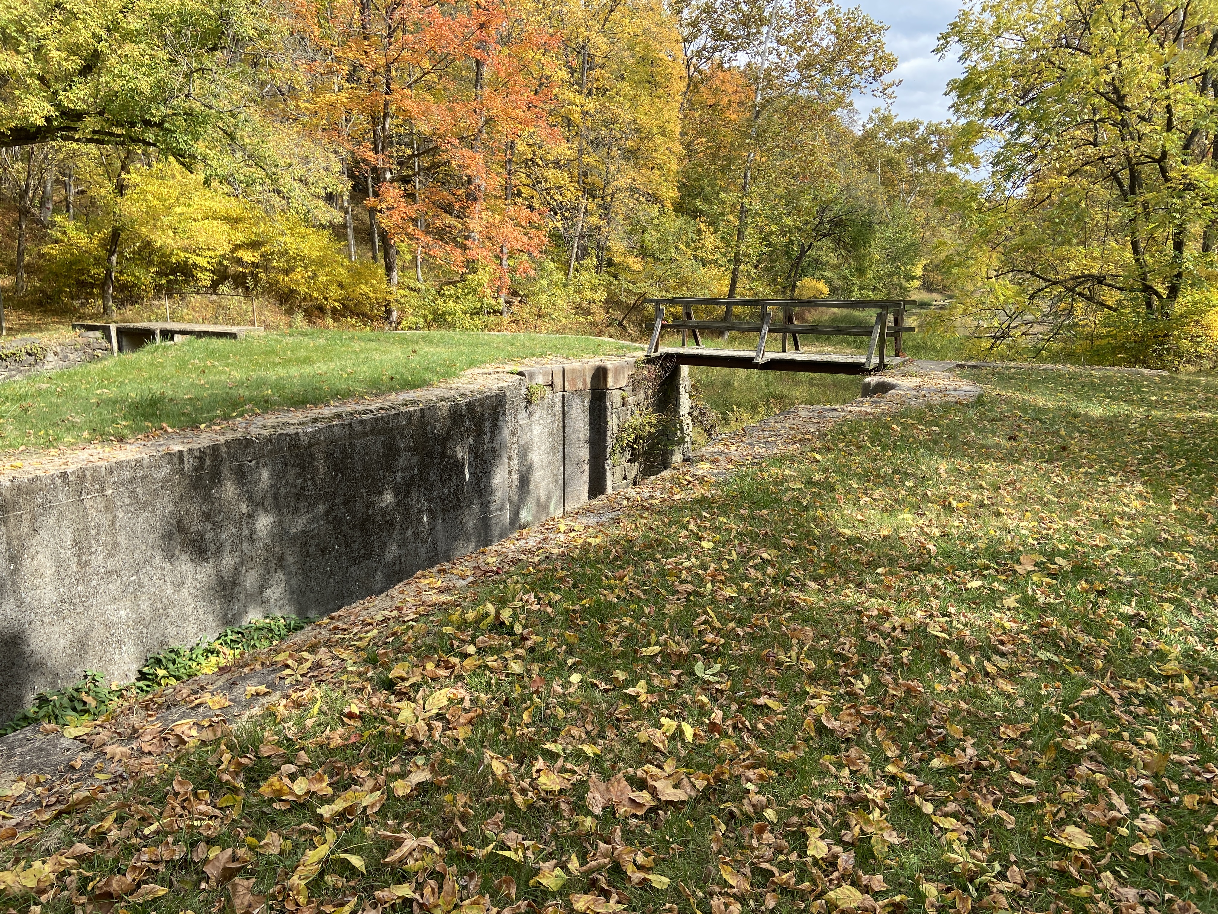
Immediately upon setting out of Cumberland, I knew that the C&O was a different beast entirely. Whereas the surface of the GAP is very smooth, the C&O is extremely rough in places, with lots of mud puddles. It’s also generally not as scenic as the GAP; it just runs along the old C&O canal. In many places, it’s just a faint dirt track through the woods.
Still, I was having fun riding a trail that I hadn’t ridden before. After two days of riding on the GAP, my bike was still quite clean, but after only a few miles on the C&O, it had become completely encrusted in mud. Oh well, at least it now looked like I had gone on a proper adventure.

Somewhere in the middle of nowhere, I passed a couple whom I thought looked familiar. After greeting them, I realized that we had met the previous day at lunch. We struck up a brief conversation; they were from the San Francisco Bay area. When I mentioned that I went to school in Pittsburgh, the husband immediately deduced that I went to CMU, claiming that “anyone who says they go to school in Pittsburgh is hiding the fact that they go to Carnegie Mellon.” They seemed nice enough, but I didn’t linger long with them, since I needed to cover more ground than they did. They were stopping around Paw Paw, WV for the night, whereas I was going a bit farther.
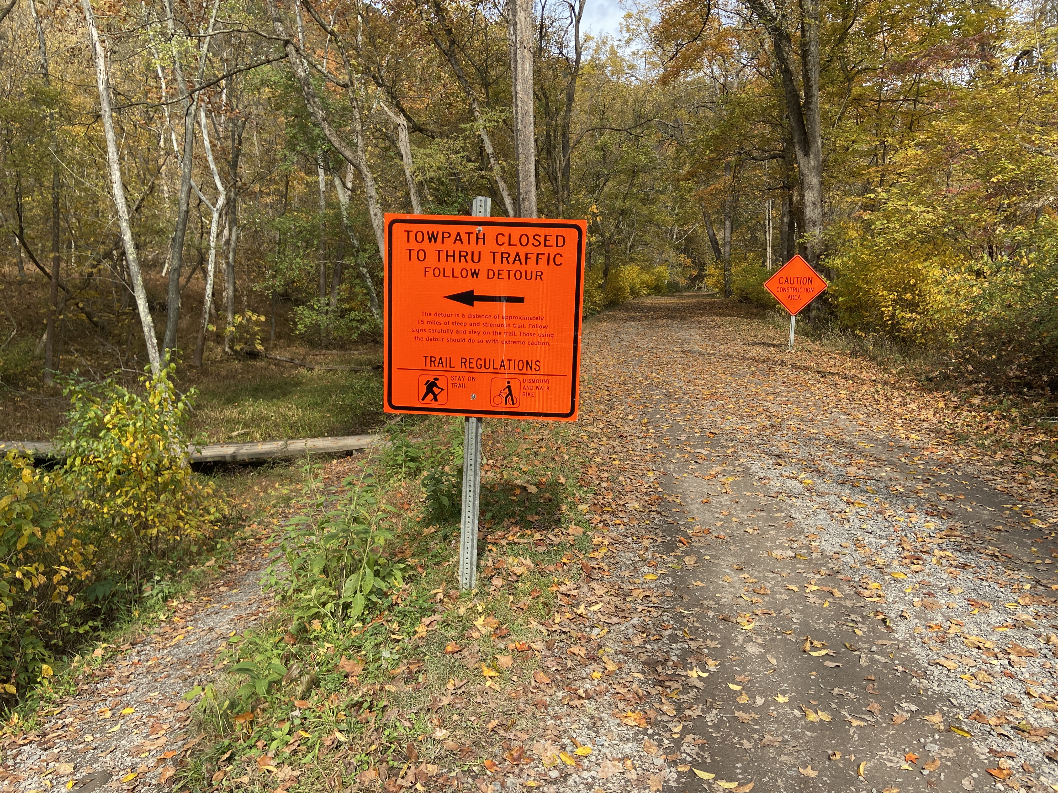
The next notable sight on the trail was the Paw Paw Tunnel. I’d previously been on a hiking trip to the tunnel, which was considered a marvel of engineering when it was constructed in 1836. Here, I had to contend with the first major trail closure: there was apparently some sort of landslide on the trail just south of the tunnel, forcing a detour. To quote the posted signage on the trail: “The detour is a distance of approximately 1.5 miles of steep and strenuous trail.” Hike-a-bike is no fun, but there was nothing to be done: I just had to hike my bike up the rather steep trail.
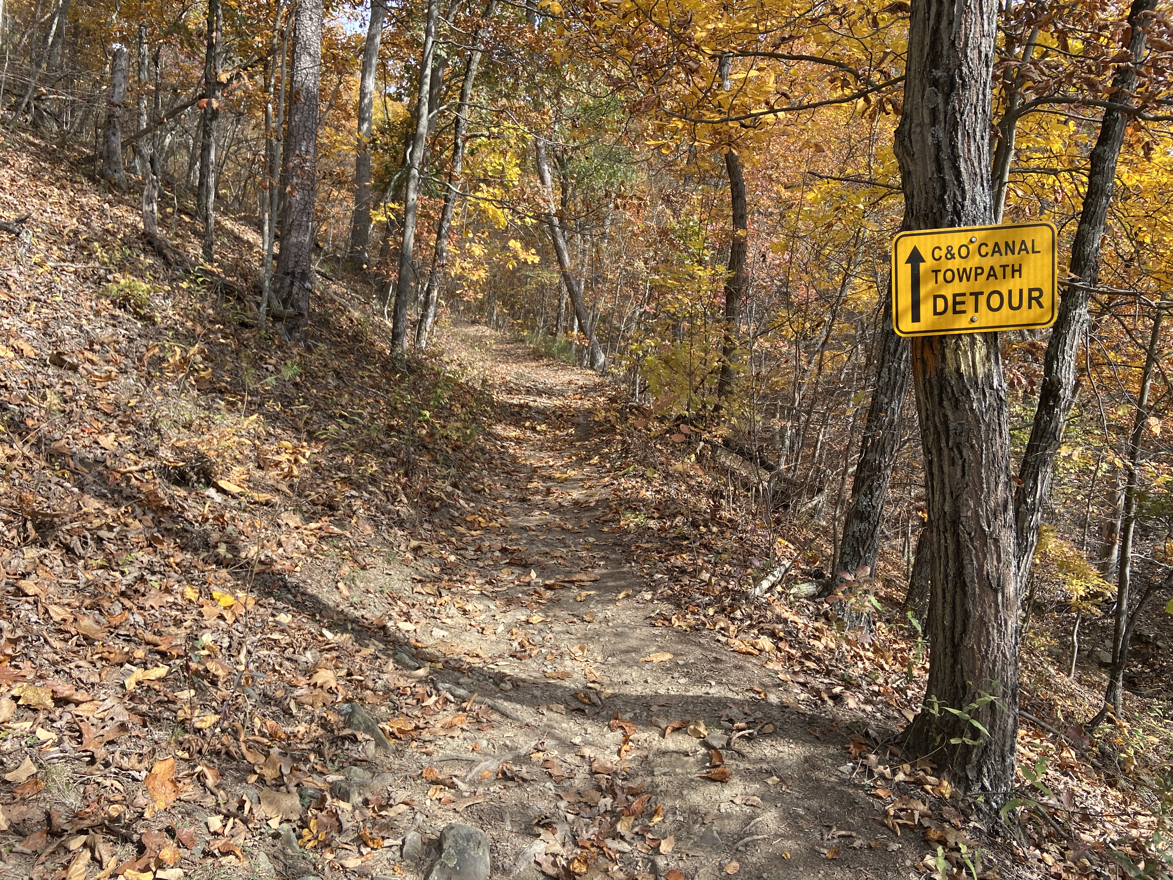
Luckily, there was an operational shuttle service on the other side of the hill, so once I hiked my bike up the hill, I was able to ride the shuttle down the other side and back onto the trail. This saved me a substantial amount of time, and I was soon back on the trail making my way toward Hancock.
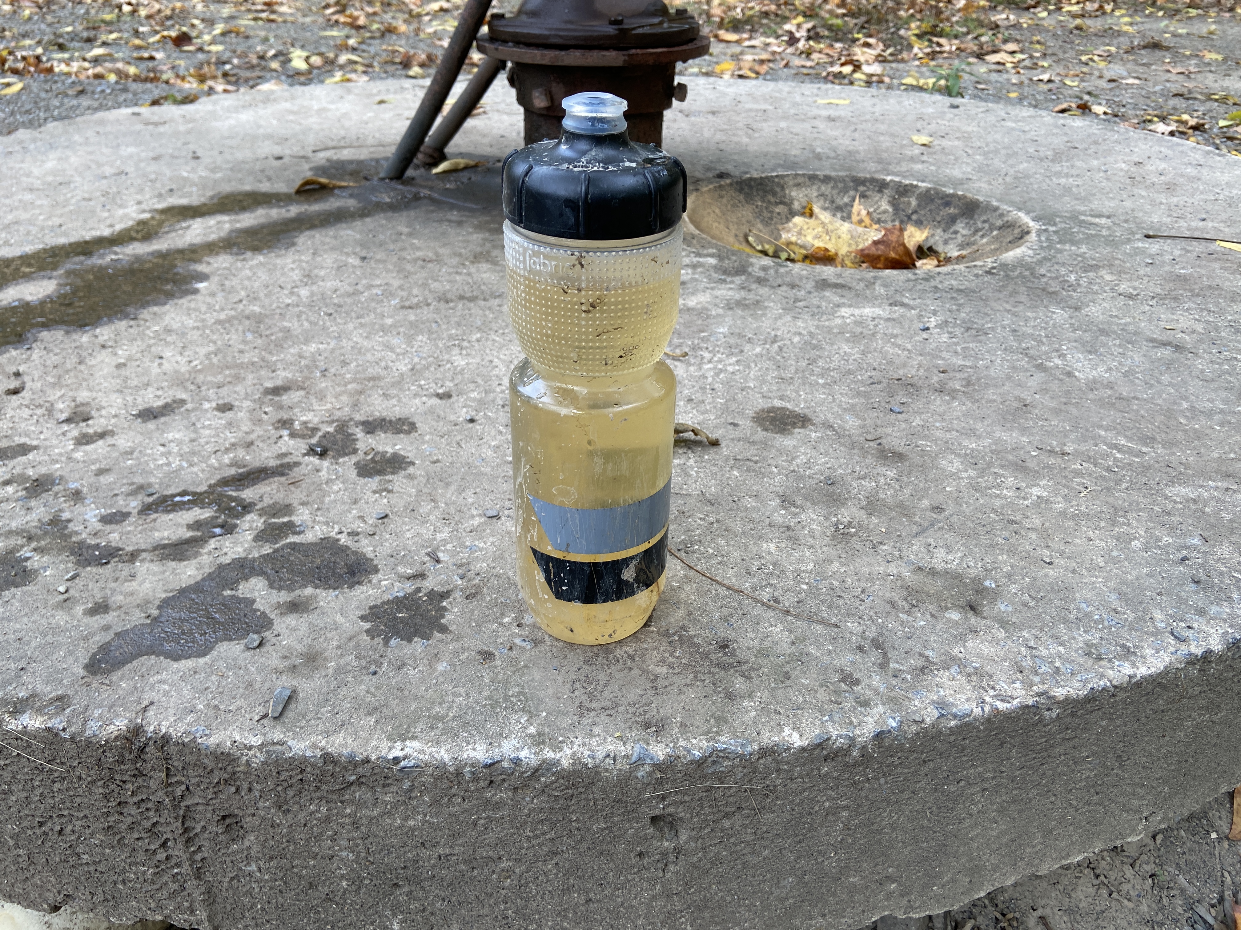
One thing about the C&O is that it’s a lot more primitive than the GAP, and there are far fewer small towns along the trail. Every roughly five miles along the trail, there’s a primitive hiker/biker campground with a port-a-potty and a pump, which pumps well water out of the ground. Since there aren’t really any towns to refill water bottles, this is often your only source of water while out on the trail.
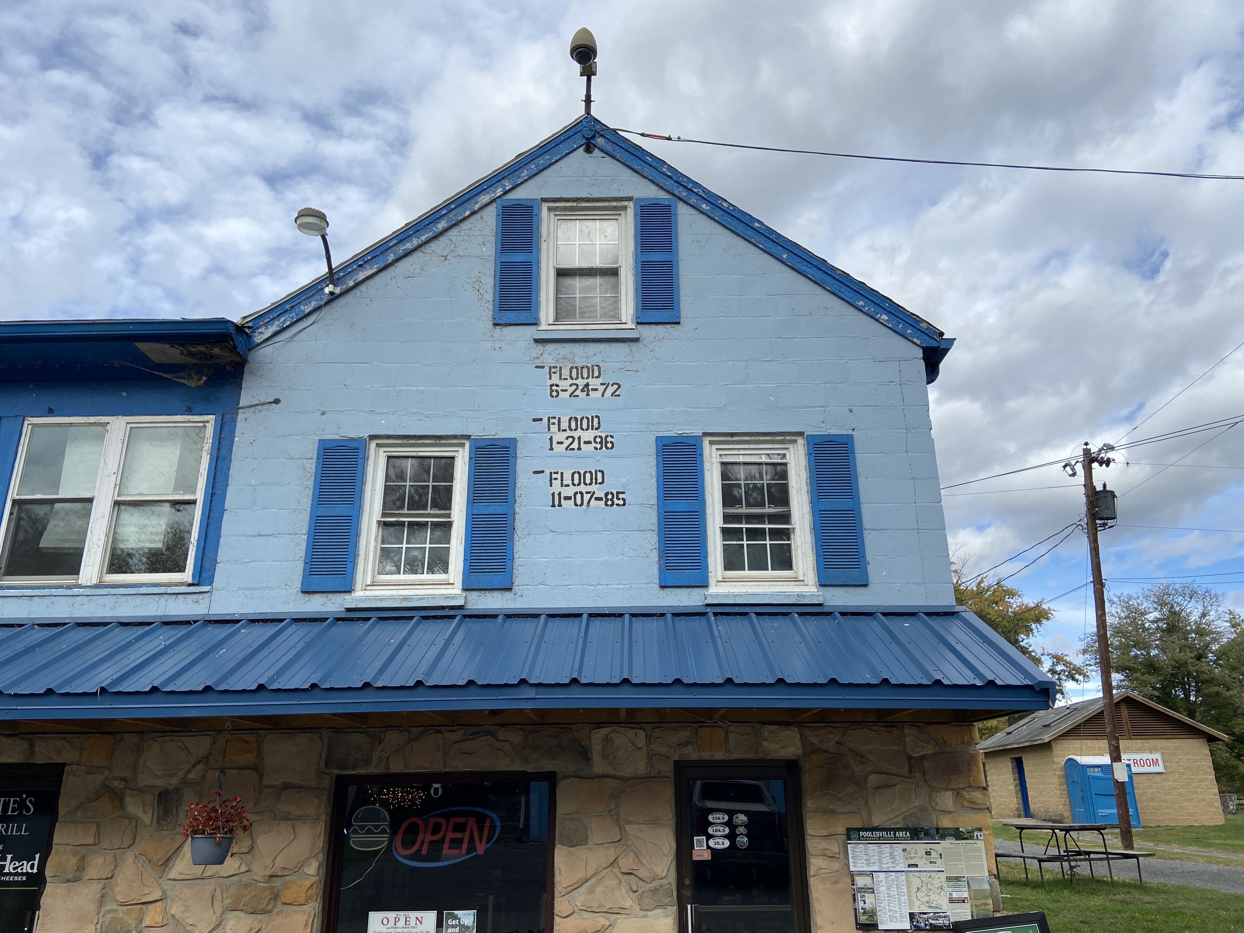
I knew that I could probably make it to Hancock without refilling my bottles, but I thought it would be prudent to refill my bottles from a pump just in case. The first pump that I tried was dry; the next one produced some water with a questionable color. The National Park Service claims that well water is generally safe to drink (it’s treated with iodine), but they also advise treating it yourself anyway, just to be safe. So, I treated the water again with iodine before drinking it. If you’ve ever had iodine-treated water, you know exactly how it tastes…not exactly pleasant. It’s drinkable, but honestly, the nearby Potomac River water looked much more palatable than the well water.

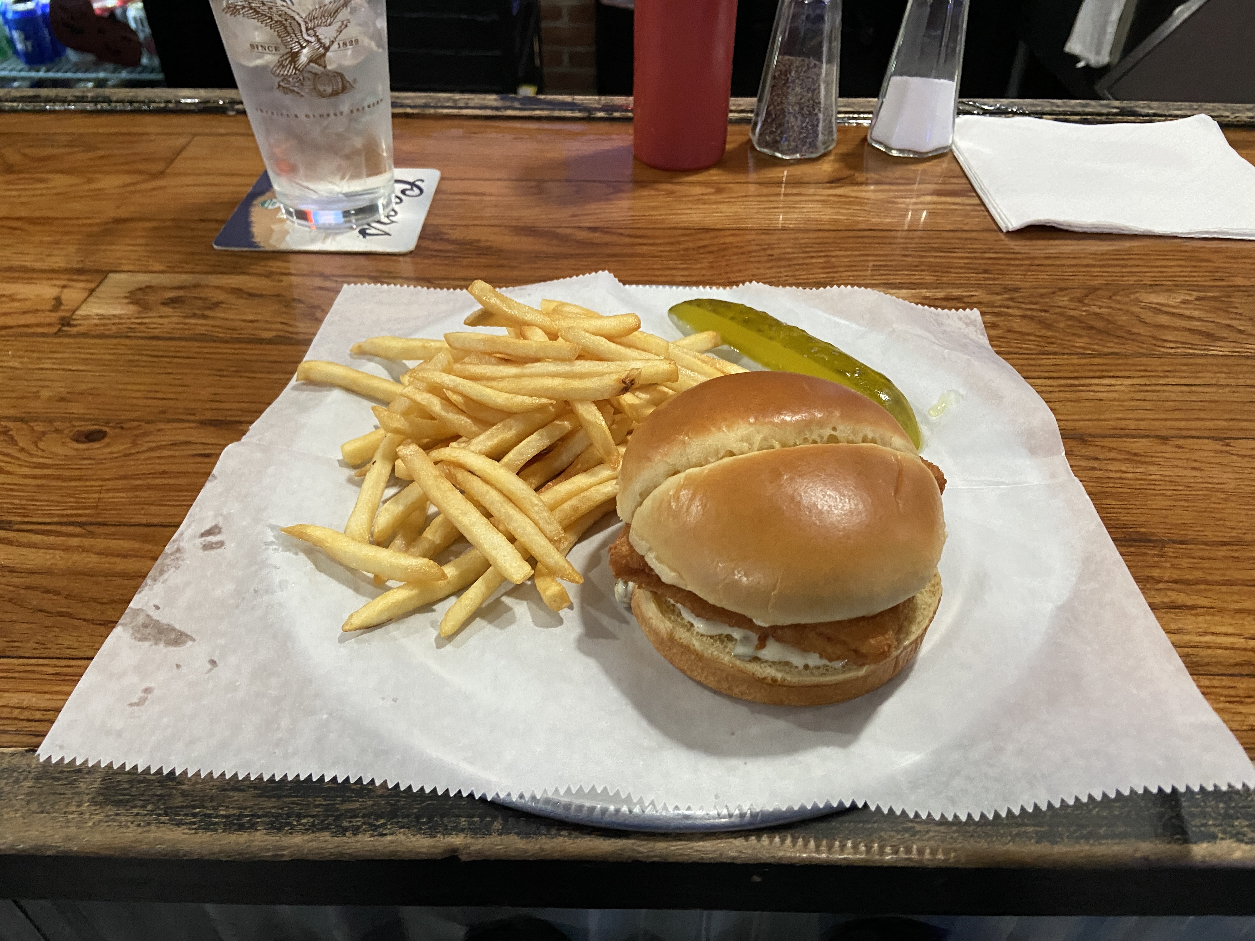
I made the mistake of skipping lunch while on the trail, wanting to get to Hancock faster. When I got to Hancock, I was absolutely famished; I came across BuddyLou’s, a very cute restaurant with an attached antiques shop. Against the waitress’s advice, I ordered an absolutely massive dinner, consisting of a seafood pasta and a rather large salad. The pasta was really good, but I probably should have listened to her…I was barely able to finish half the salad. I had to box up the rest of it and take it to my hotel in defeat.


Overall, the day wasn’t too bad. I will say that the C&O is a lot less scenic that the GAP, so sometimes it feels like you’re just grinding out the miles. Also, maybe it’s heretical for a roadie to say this, but I kind of get gravel now. Kind of.
At this point, I was fairly fatigued. This budget hotel had an even less impressive breakfast than the last one; I basically just ate Quaker oats and a bowl of corn flakes. Not exactly an inspiring breakfast. But still, I had cause for celebration: for the next roughly ten miles, I could ride a parallel trail to the C&O, namely the Western Maryland Rail Trail. The best part? The rail trail is entirely paved! After spending a day miserable on the rough, muddy C&O, the paved trail was a big morale boost.
There was some slightly better scenery on the fourth day; the trail went right up to the Potomac River at times, which was quite nice. I stopped for lunch at Williamsport, where I had a decent fish sandwich at a restaurant/bar catering to trail users. I was the only one there at lunchtime, so I got to talk to the owner a bit. I love talking to people in these small towns along the trail, especially since their lives look so different from mine.
Sadly, after lunch, there was yet another detour on the trail. This time, the detour was on several miles of rather hilly road. You’d think that, as a roadie from Pittsburgh, I would be in my natural element, but quite frankly, with more than two hundred miles in my legs, I was not enjoying the hilly detour. Honestly, the flat-earthers may be onto something…my life would have been markedly better if everything were flat!
Another misadventure on the trail: I finally got a flat tire. I was actually kind of surprised that I hadn’t gotten a flat tire yet, given that I was riding a road bike on a rather rough trail. It was only a minor inconvenience, taking me about ten minutes to fix.3
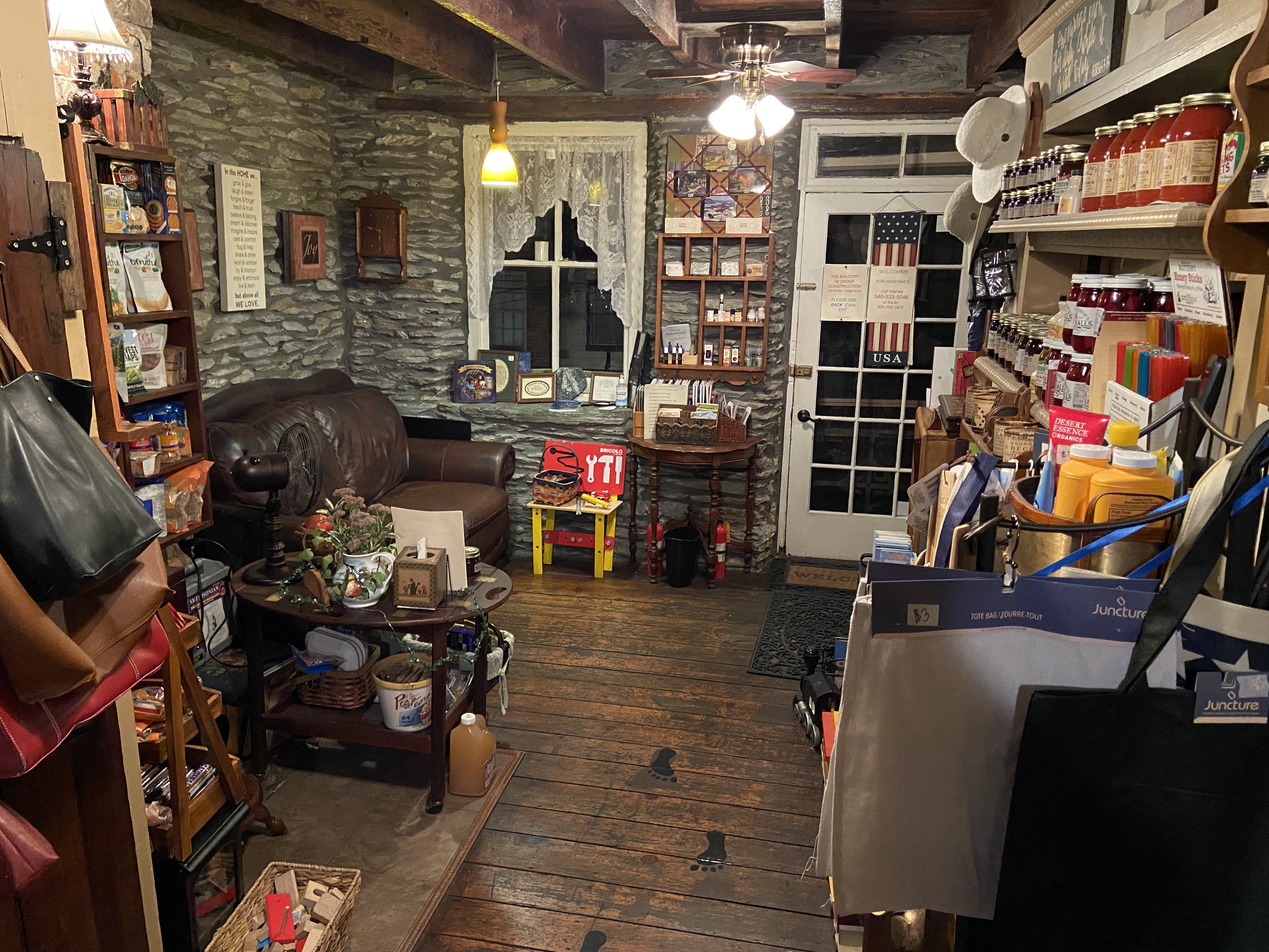
After these misadventures, I was happy to finally arrive at Harpers Ferry. I stayed at the Town’s Inn, a rather cute inn with a historic atmosphere in the middle of town.4 The whole house felt cluttered in a good way, with lots of interesting books and trinkets lying around everywhere.


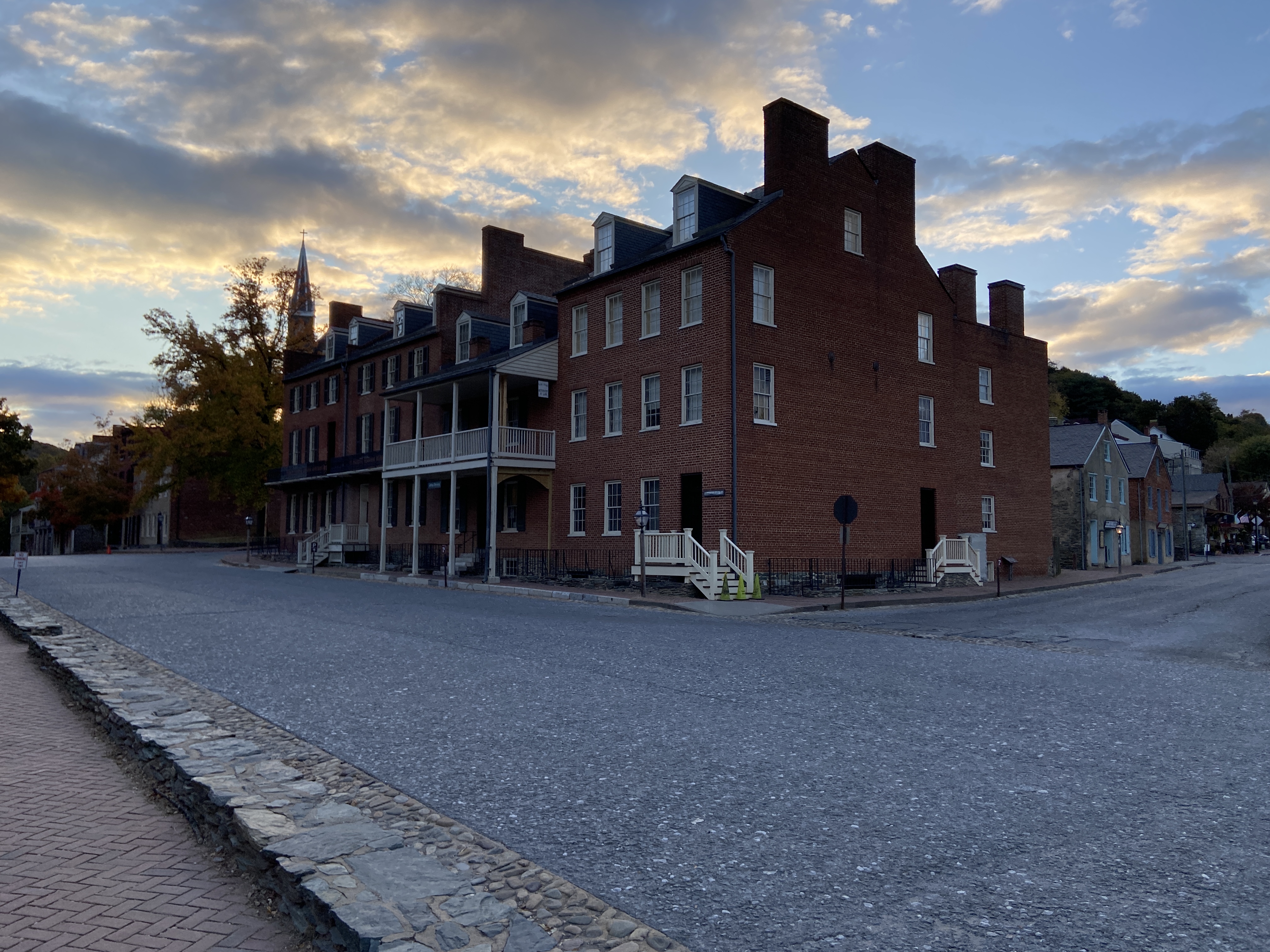
The entire town of Harpers Ferry is, of course, steeped in history, being the site of John Brown’s famous assault on the federal armory shortly before the Civil War. I got some pictures of historical sites before getting dinner at a restaurant recommended by the inn’s owner. The restaurant had a pretty interesting ambiance; it was decorated with signage from all sorts of national parks and forests. It makes sense, since Harpers Ferry is on the Appalachian Trail, so there are probably a lot of hikers who pass through.
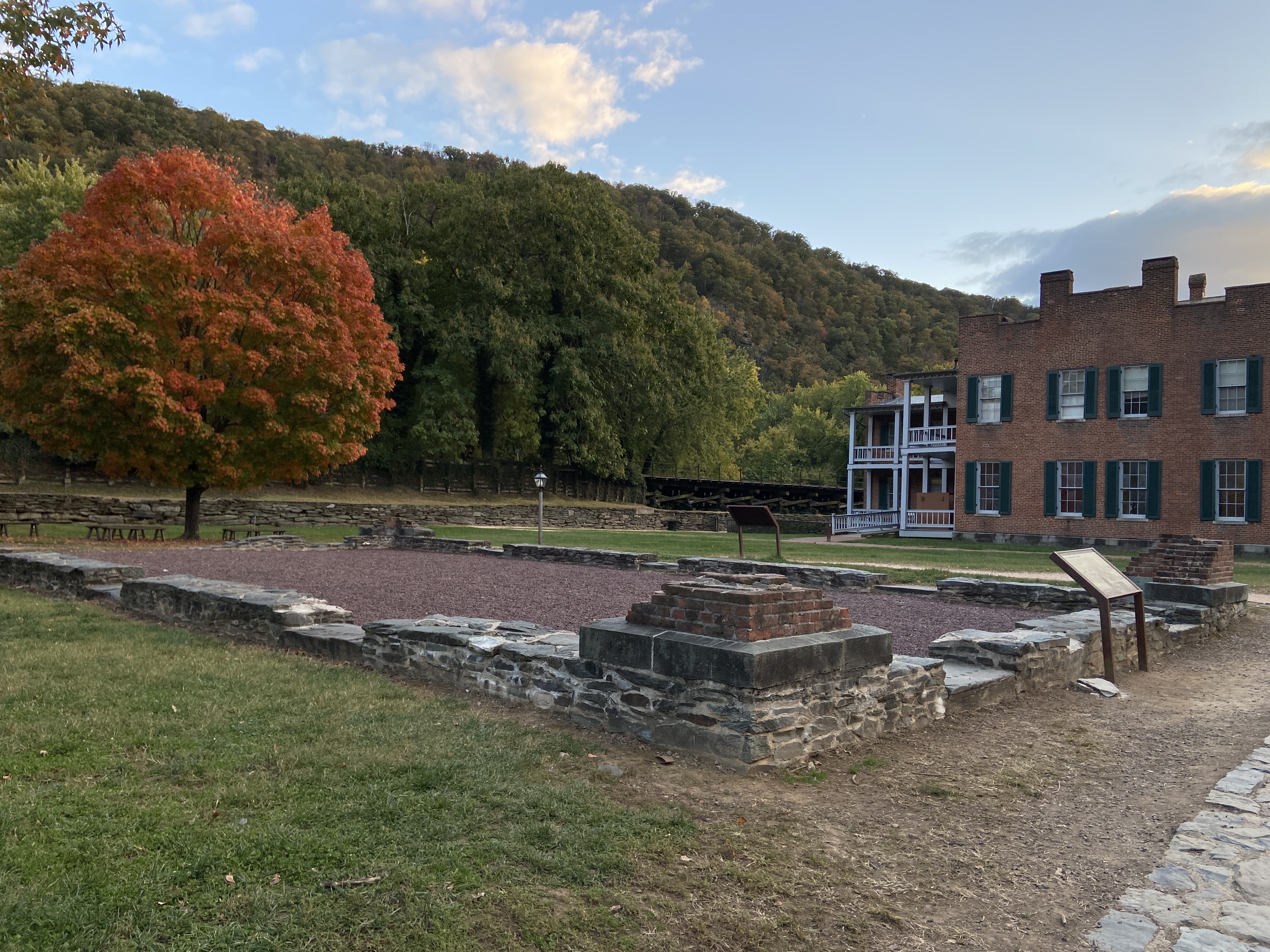
I quite enjoyed my stay at Harpers Ferry. I don’t think the natural beauty of the area (at the confluence of the Potomac and Shenandoah Rivers) quite lives up to Jefferson’s description of it, but it’s a really fascinating historical town.
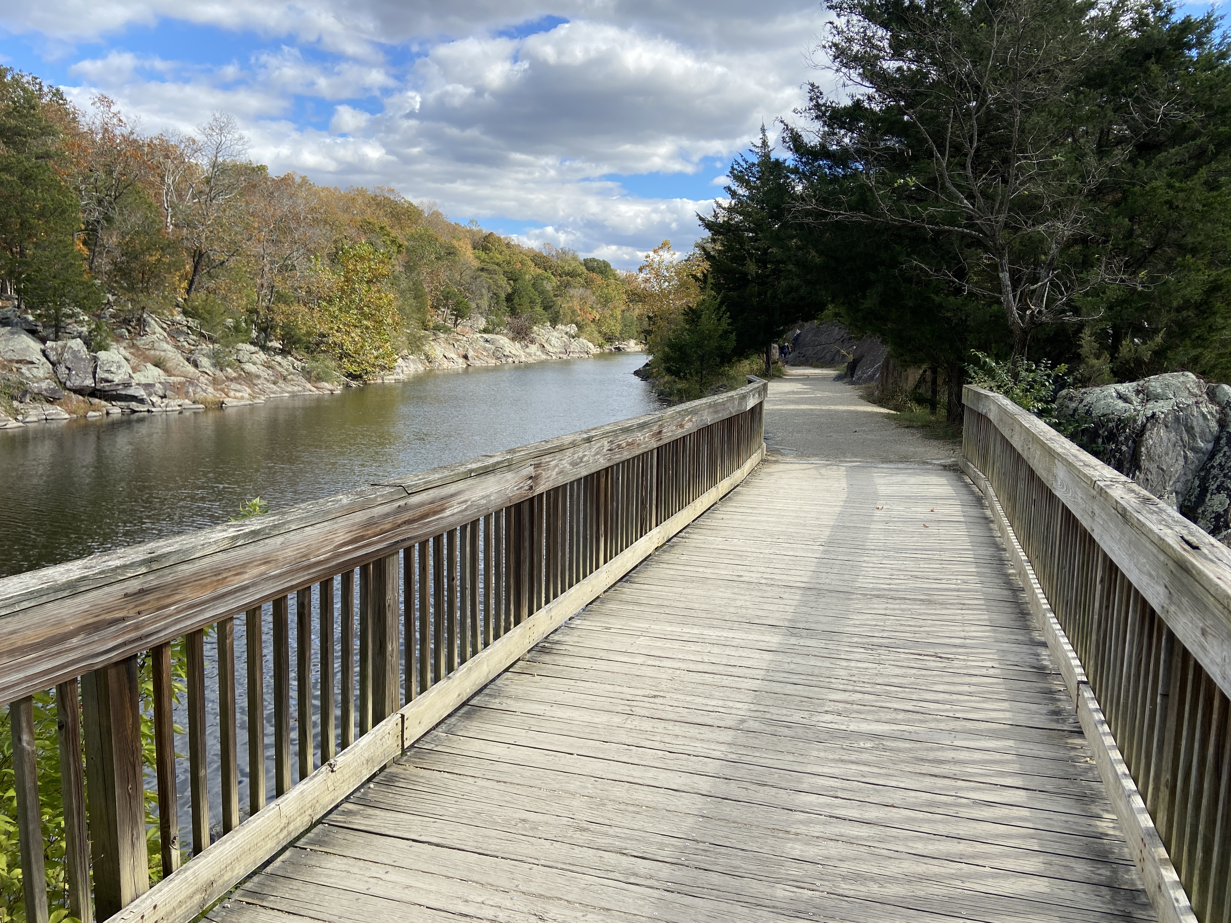
I woke up on the fifth day with a sense of purpose, but also with a sense of sadness: this would be my last day on the trail. The C&O is really well-maintained in the area around Harpers Ferry, even rivaling the GAP. This made me hopeful that perhaps the trail surface might stay similarly nice all the way to Washington, but alas, it was not to be. The trail conditions quickly began deteriorating as I left Harpers Ferry behind.
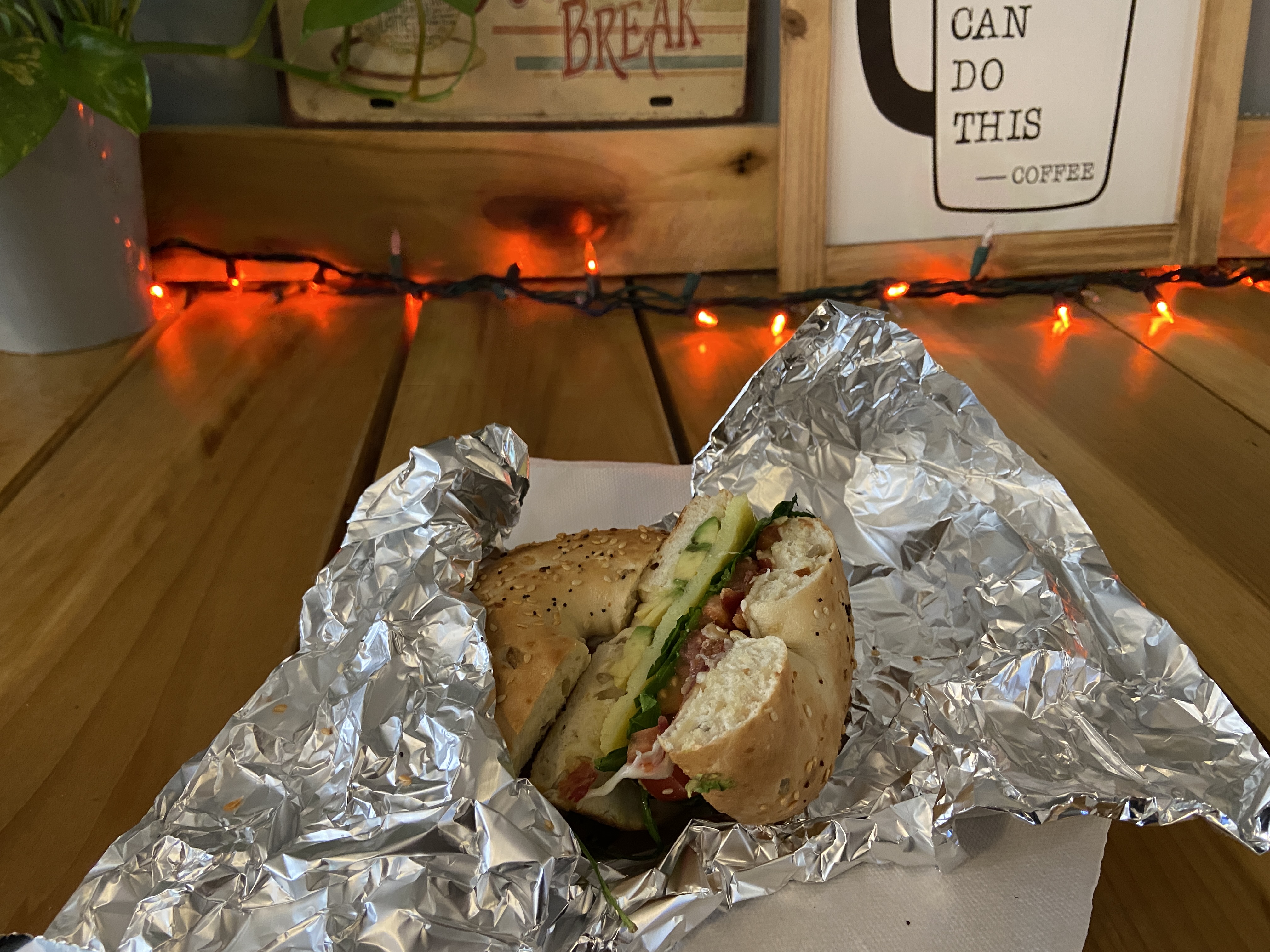
I arrived at White’s Ferry for lunch, having a spicy chicken sandwich at pretty much the only place to eat in the area, the White’s Ferry Grill. I was again the only one eating here. The sandwich was okay, but one thing left a pretty bad taste in my mouth: the restaurant staff refused to let me refill my bottles with tap water, citing restaurant policy. Of course they aren’t obligated to do so, but letting someone fill up a bottle with tap water seems like the most basic level of trail kindness that you can give. They wanted me to buy a bottle of water instead, which I refused to do on principle.
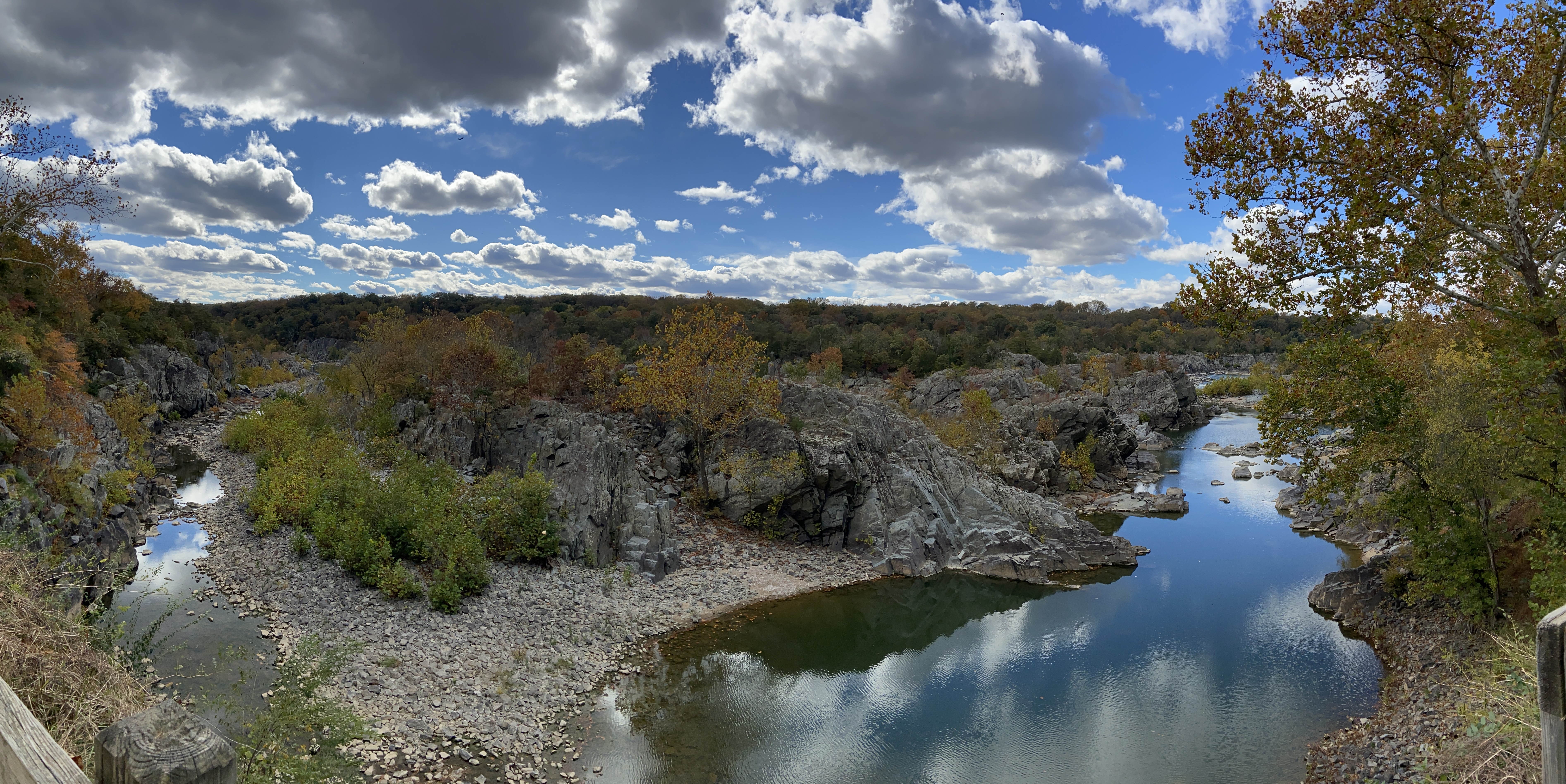
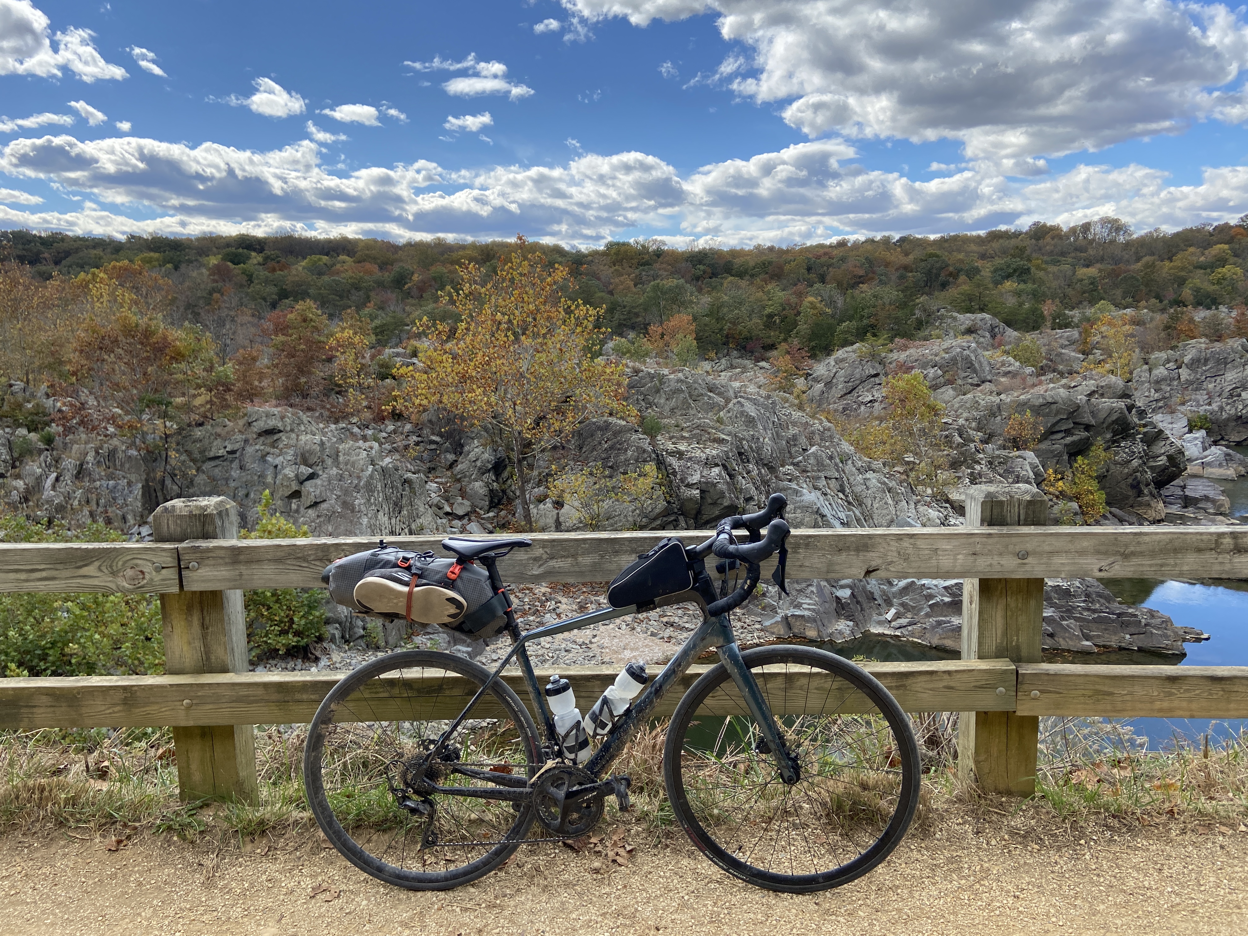
As I got closer to Washington, there were small signs that I was getting closer to civilization. I started seeing more and more people on the trails, and the people I saw on the trails were getting more and more diverse.5 There were a couple of nice vistas along the way. I didn’t manage to see Great Falls. I had figured that if the falls were really so great, I’d hear them from the trail, but I didn’t hear anything. I took it easy here, savoring the last hour or two on the trail before I would have to rejoin civilization proper.
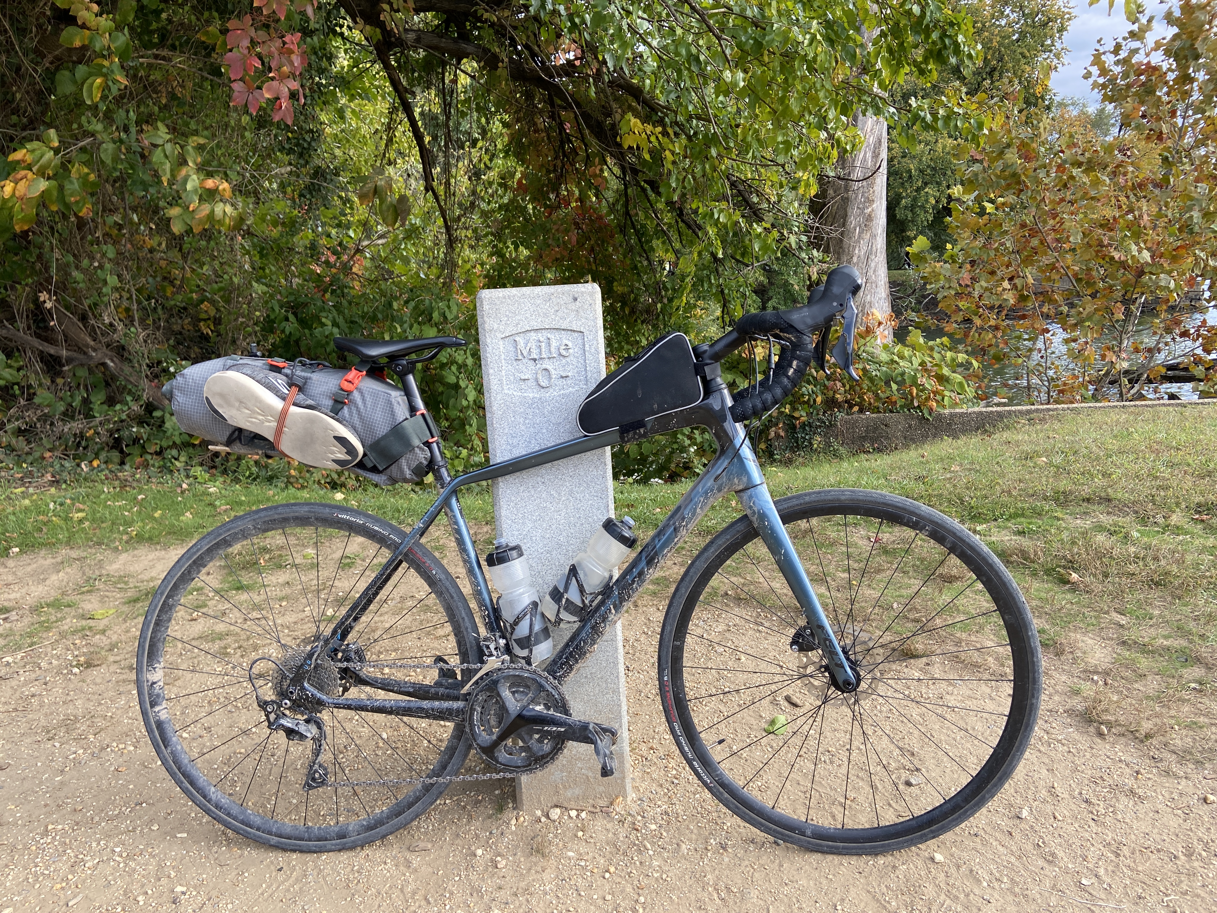
When I finally arrived at Washington, I hopped onto the Capital Crescent Trail heading toward the National Mall, intent on taking some pictures to send to my family back home. I wanted to take a picture with the mile zero marker for the C&O trail,6 but this proved surprisingly difficult to find. After consulting the National Park Service website, I was finally able to locate the mile marker on a small island behind a random boathouse.
Arriving on the National Mall was a little bit anticlimactic. Washington is such a clean city, full of perfectly polished marble and buttery smooth tarmac. When I got to the Mall, there were soldiers doing fancy exercises and all. It was such a dramatic difference from the rough, muddy world of the trail that I had inhabited over the past five days.
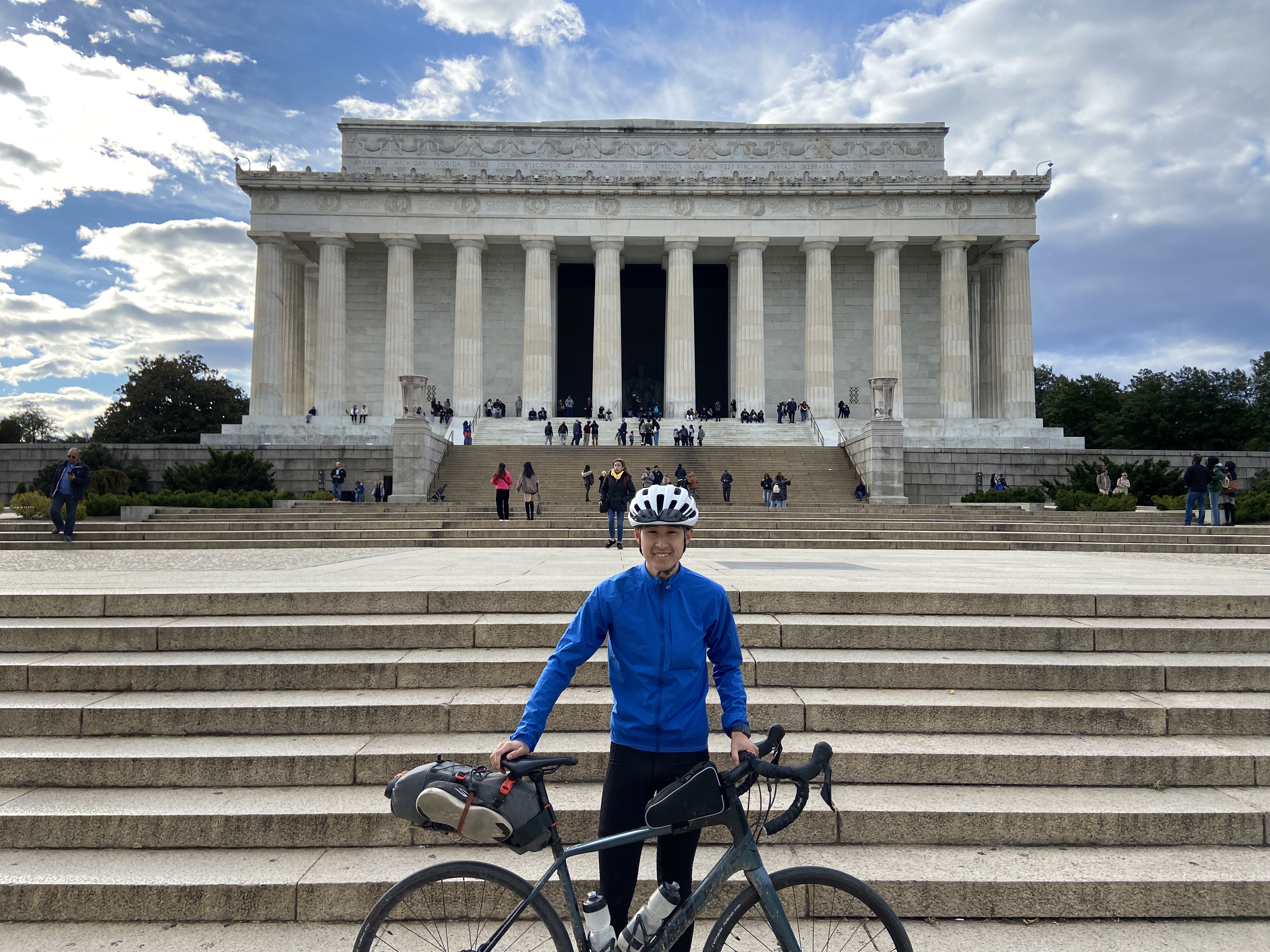
After taking my pictures, I rode over to a friend’s place near Arlington. It almost didn’t feel like I had just finished a five-day trip.
Miles and miles and miles.
Alan Shepherd, Apollo 14, 1971
Some reflections and takeaways on the trip:
My focus was on traveling very light and covering lots of ground each day. I had a ton of fun doing it, but this is certainly not the only way to enjoy the trip. Taking it easy, carrying more creature comforts, and stopping more often might have made it even more fun.
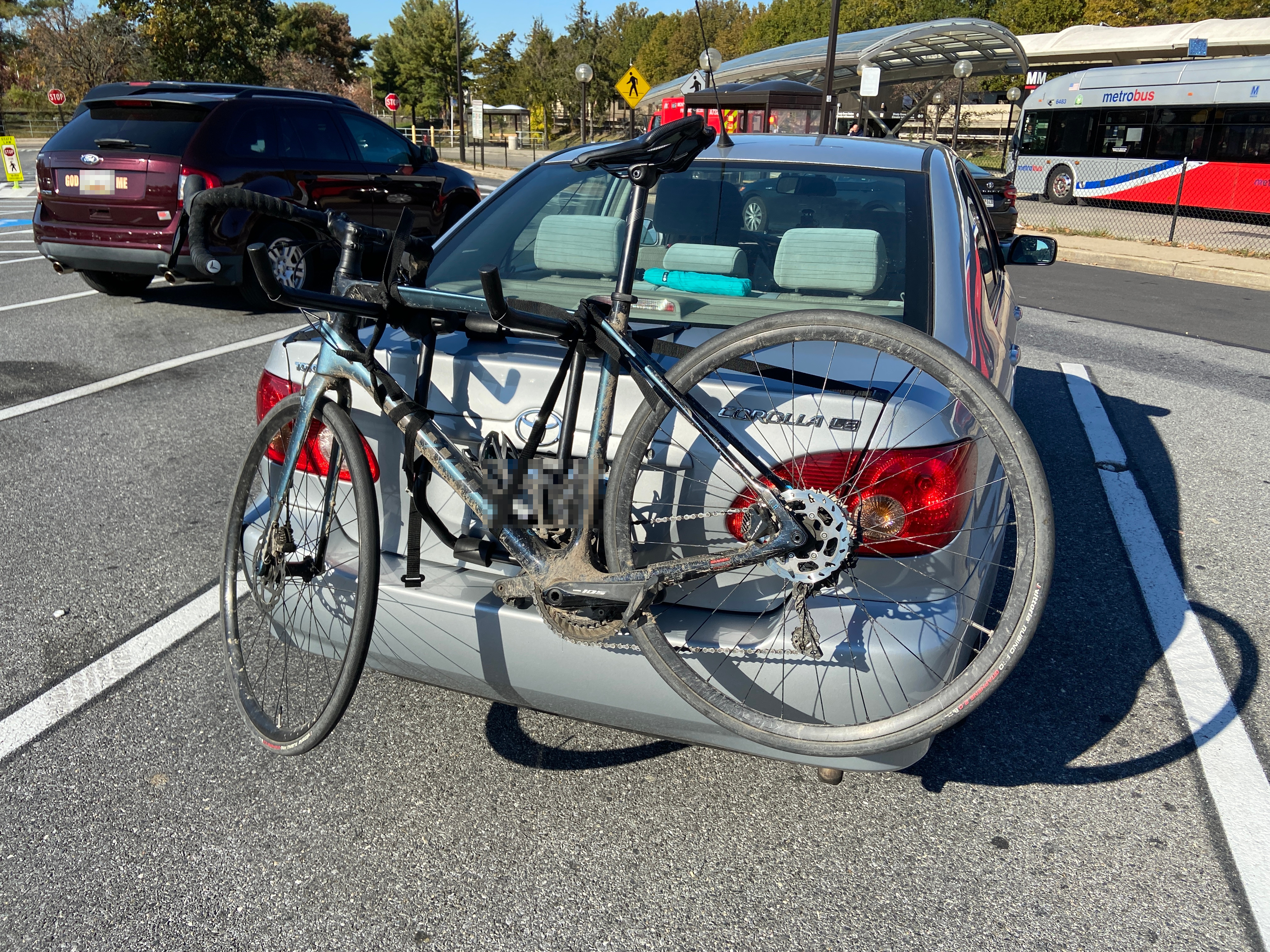
I took my carbon road bike with 28mm slick road tires. Several people that I met on the trail actually remarked on my bike/tire choice; it’s a lot more road-oriented than what people typically take on the trail.7
I will say that the bike wasn’t a problem at all on the GAP, but some of the muddier sections on the C&O were genuinely a bit sketchy. It’s fine if you’re a college kid who wants to go fast and doesn’t mind a bit of sketchiness, but at the very least I’d bring some wider tires with more tread if I were to do the trip again.
I considered filming the trip on my GoPro, but I decided against it. I’ve filmed two rides before,8 but honestly, I don’t really enjoy filming bike rides. It’s too much work fiddling with the camera, swapping out batteries, getting good shots, etc. Personally, I’ve found that there’s an inverse relationship between how cool the footage looks and how much I actually enjoyed the ride.
If there’s one thing I regret, it’s not stopping to talk more with the other bicycle tourists I met. I exchanged polite greetings and brief conversations with a few people, but otherwise I pretty much just minded my own business. It might have served me better to slow down a bit and chat for longer.
The ride was a varied experience. There were some fantastic sights, but there were also many long miles of solitude and tedium. I feel like the passage of time has little meaning here; days bleed into each other, mile after mile. Where did the week go? Has it really been so long since I set out from Pittsburgh? (Sorry, this is the sort of philosophizing that I promised myself I wouldn’t do.)
But seriously, sitting here comfortably, writing this post, it almost feels like this trip never happened, or that it happened in some ethereal realm with no connection to the real world of school and friends and family.
One of the best parts of the trip: because I was traveling so light, I had no room in my bag for my laptop. As a result, I was literally unable to access any work for a week. This was pretty nice; it allowed me to enjoy my fall break without feeling like I had to do homework.
Here are some useful resources if you want to try this trip:
I spent the next few days in Washington, staying at my friend Richard’s place. Richard graduated from CMU last year and is now in Washington, working at an economic consulting firm. It was really nice to catch up and see what his life is like after college, since my life will probably be pretty similar in a year.
It was a little cold in Washington for the clothing that I had brought. Again, space in my bike bag was very limited, so I wasn’t able to bring a pair of long pants! (Well, aside from my cycling tights, but I wasn’t going to wear those around off the bike.) The weather was fortunately mostly tolerable in shorts, but just barely.
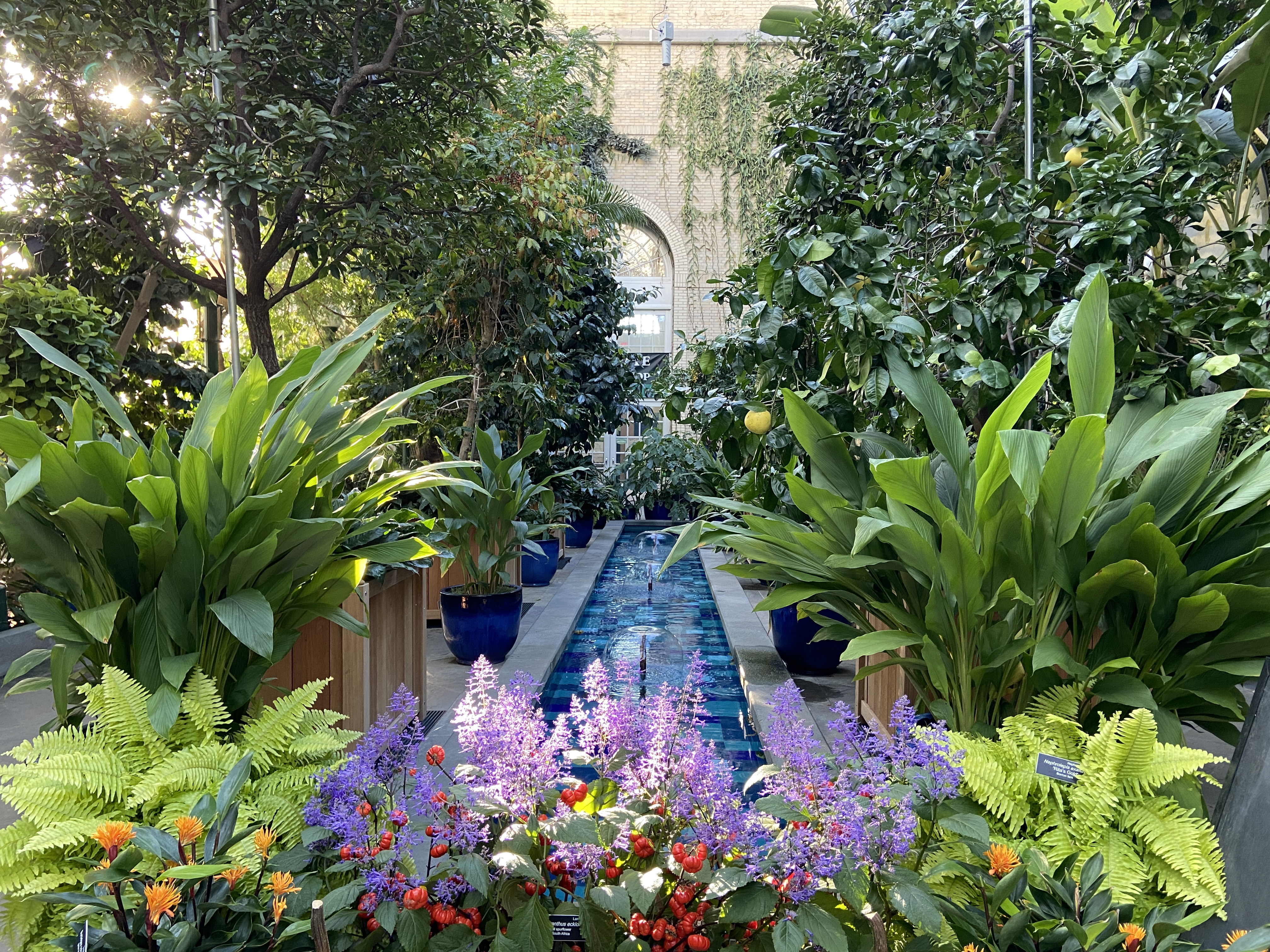
I spent most of my days wandering around museums. I’ve been to many of the museums before, so I was a bit selective with which ones I visited this time. These included:
Besides museums, probably the highlight of my stay in Washington was celebrating Kristel’s birthday. We went out for sushi, ate some very impressive cakes that she had baked for the occasion, and stayed up late playing ZPY. In fact, we played ZPY so late that Richard and I missed the last train back to his place, so we ended up crashing at Chen’s place for the night.
Ting graciously offered to drive me (and Richard) back to Pittsburgh, so I didn’t have to mess with the Amtrak. (I probably couldn’t have gotten a bike spot on the Amtrak on such a short notice, anyway.) It was interesting covering in a few hours in a car what had taken me five days to cover by bike.
I arrived back in Pittsburgh a little more than a week after I had left.9 My bike (and legs) are a little worse for the wear, but I think it was a fall break well-spent. I can now graduate in peace knowing that I’ve done the famous Pittsburgh to Washington trip.
Hey don’t judge—I don’t weigh very much, and neither does my bike.↩︎
It’s a pretty shallow gradient, but you do notice the difference between the uphill and downhill portions of the GAP, especially over 150 miles.↩︎
“Yeah, well I can fix a flat in a minute flat while blindfolded with both hands tied behind my back!” I know I’m slow, okay?↩︎
Completely random coincidence: a couple of years later, I found out that the proprietor of the inn, a lovely woman with whom I had a brief conversation, attends Capitol Hill Baptist Church in Washington, DC; I have many friends who used to go to that church!↩︎
I knew that I was really close to Washington when I started seeing other Asians on the trail…↩︎
I rode the trail “backward,” so I started from mile marker ~180 and counted down to zero.↩︎
The truth of the matter is that it wasn’t exactly a conscious choice…as I said, I decided to go on this trip on a whim, and this was the only set of tires that I owned.↩︎
One of which I edited and put up on Youtube…↩︎
Sadly, a week was enough for my car to have been issued a parking ticket in that time, for being illegally parked during street cleaning.↩︎
Comments